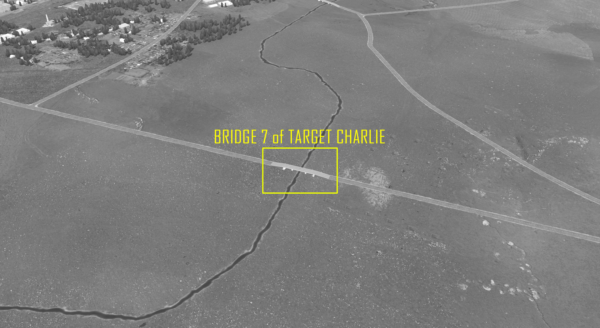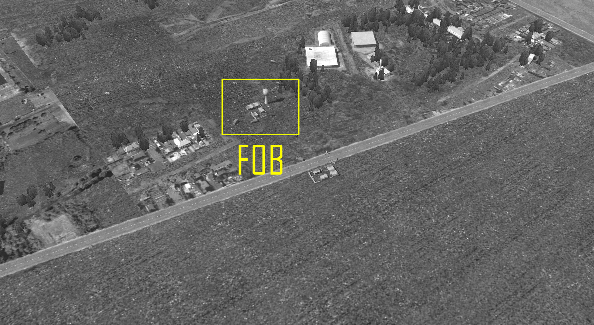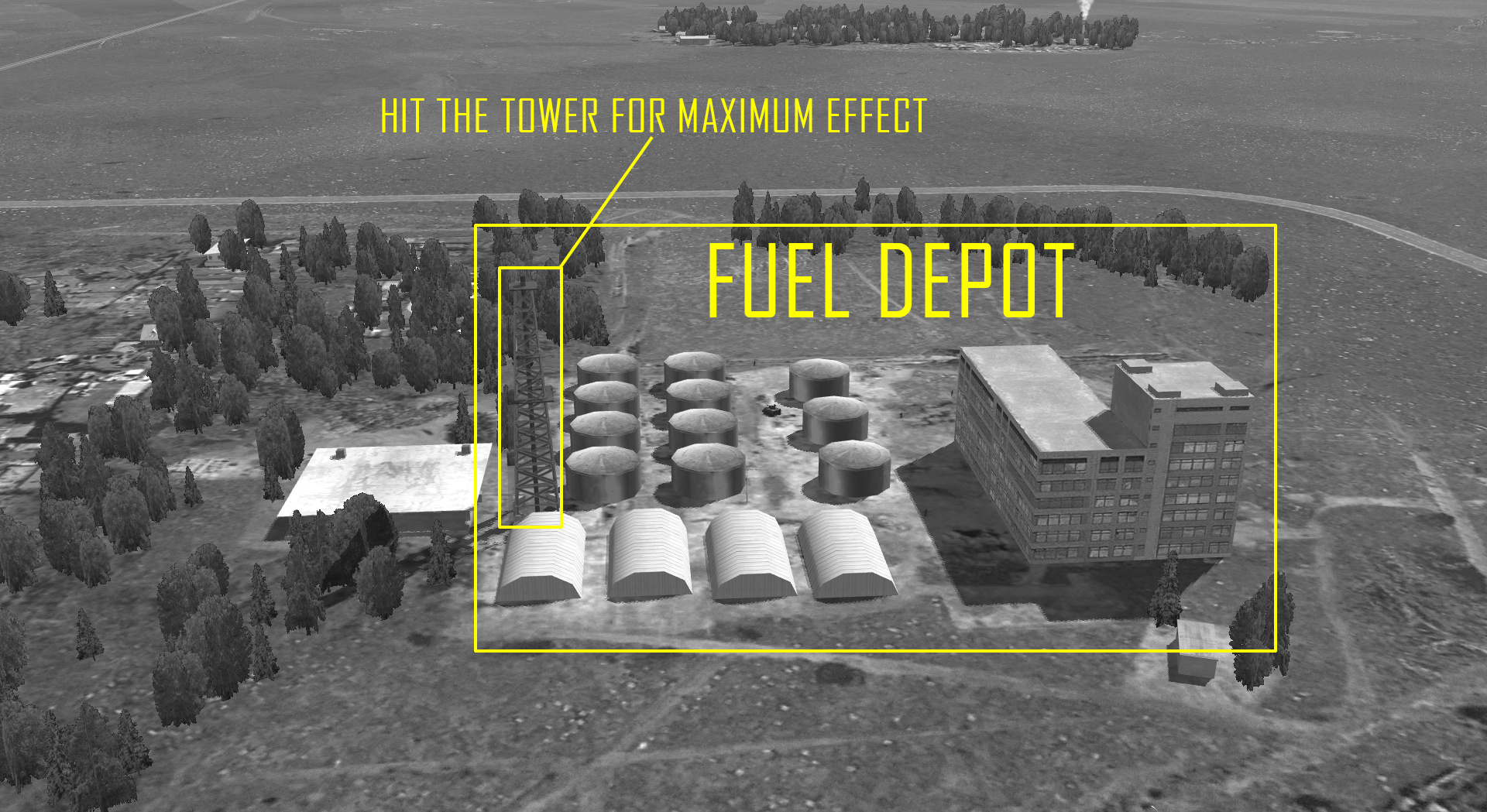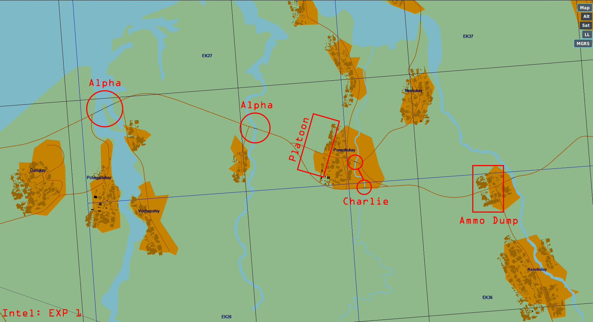
——————————————————————————————
———-<<<<<<<<<< OPERATION SYMBIOSIS v3 >>>>>>>>>>———-
——————————————————————————————
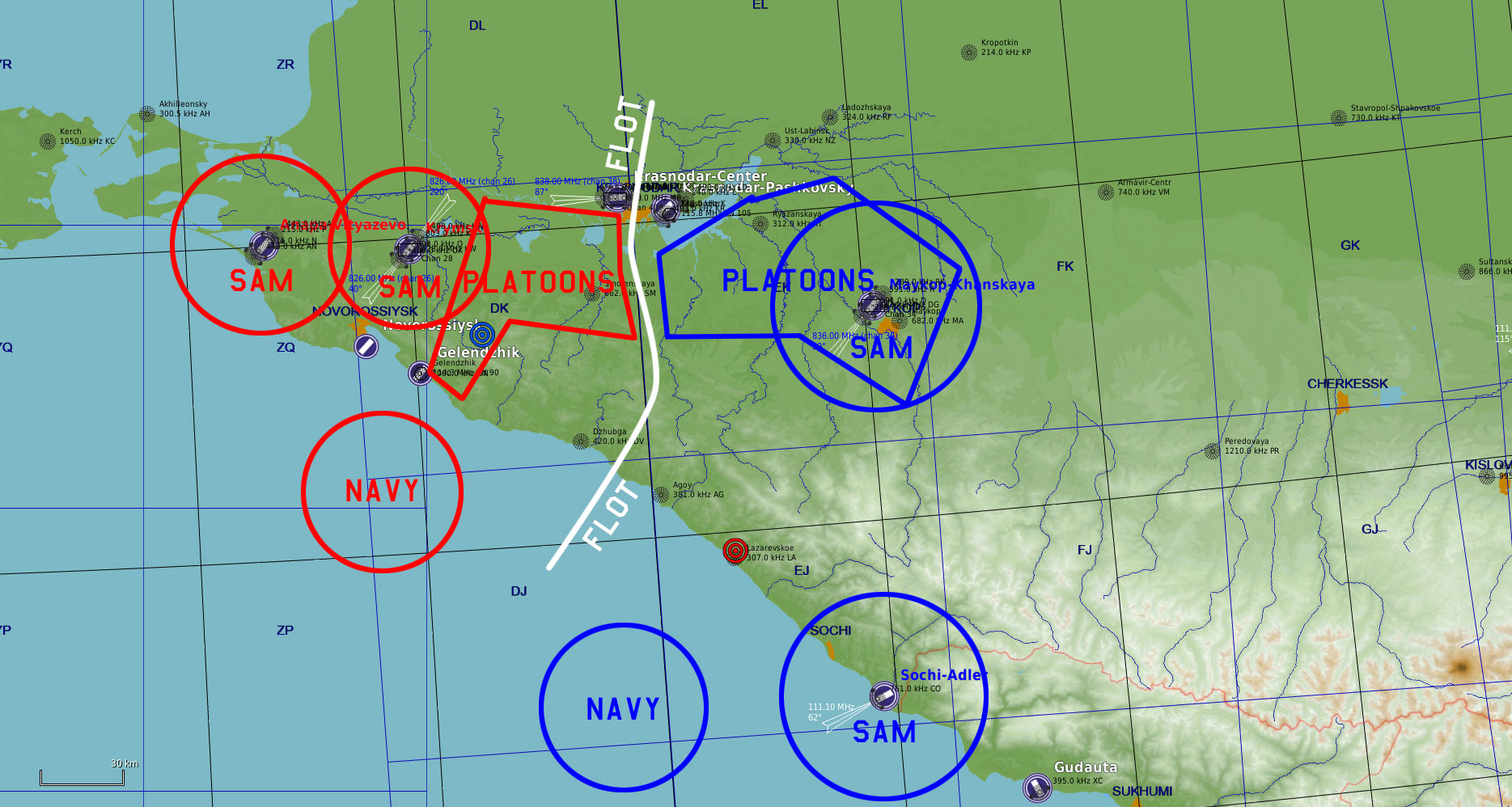
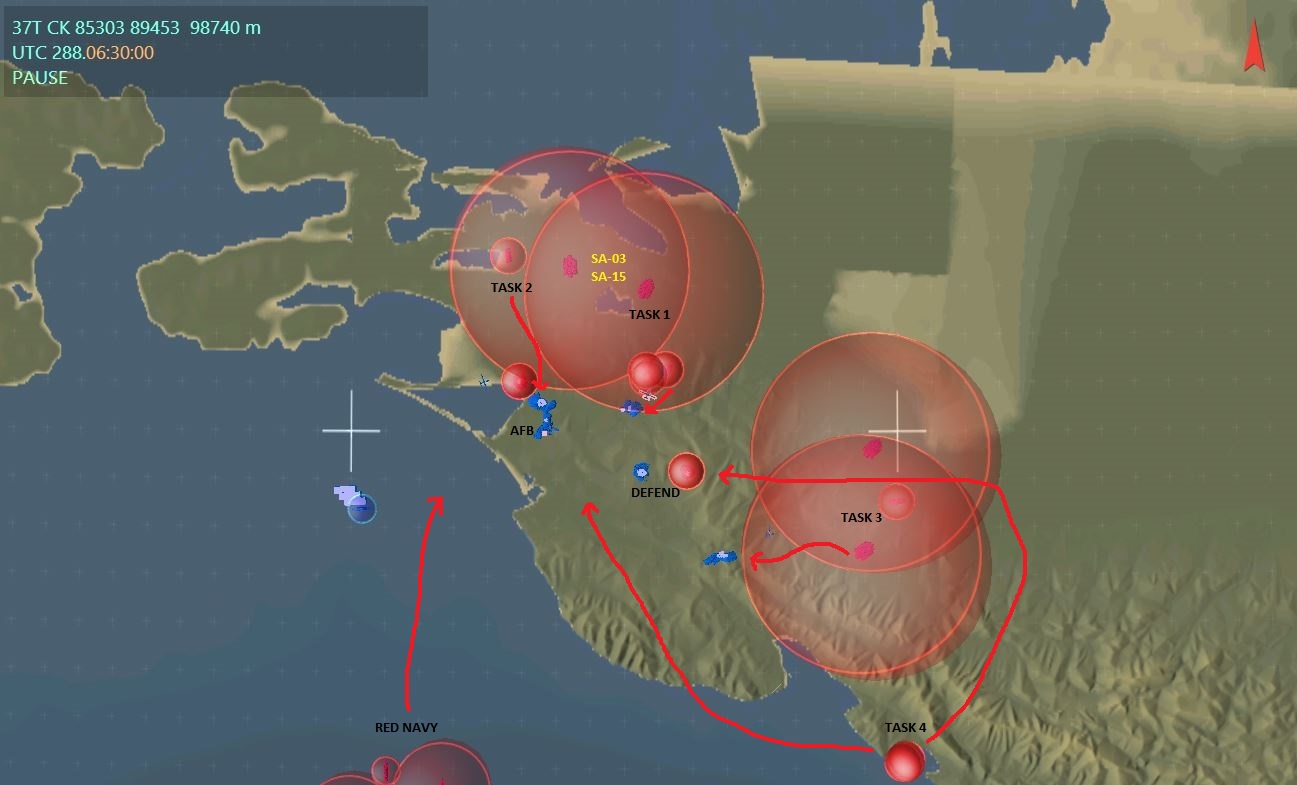
After yet another civil unrest in the Crimea area, the United Nations has decided to intervene and send a strong NATO force to help the local people and finally give them democracy.
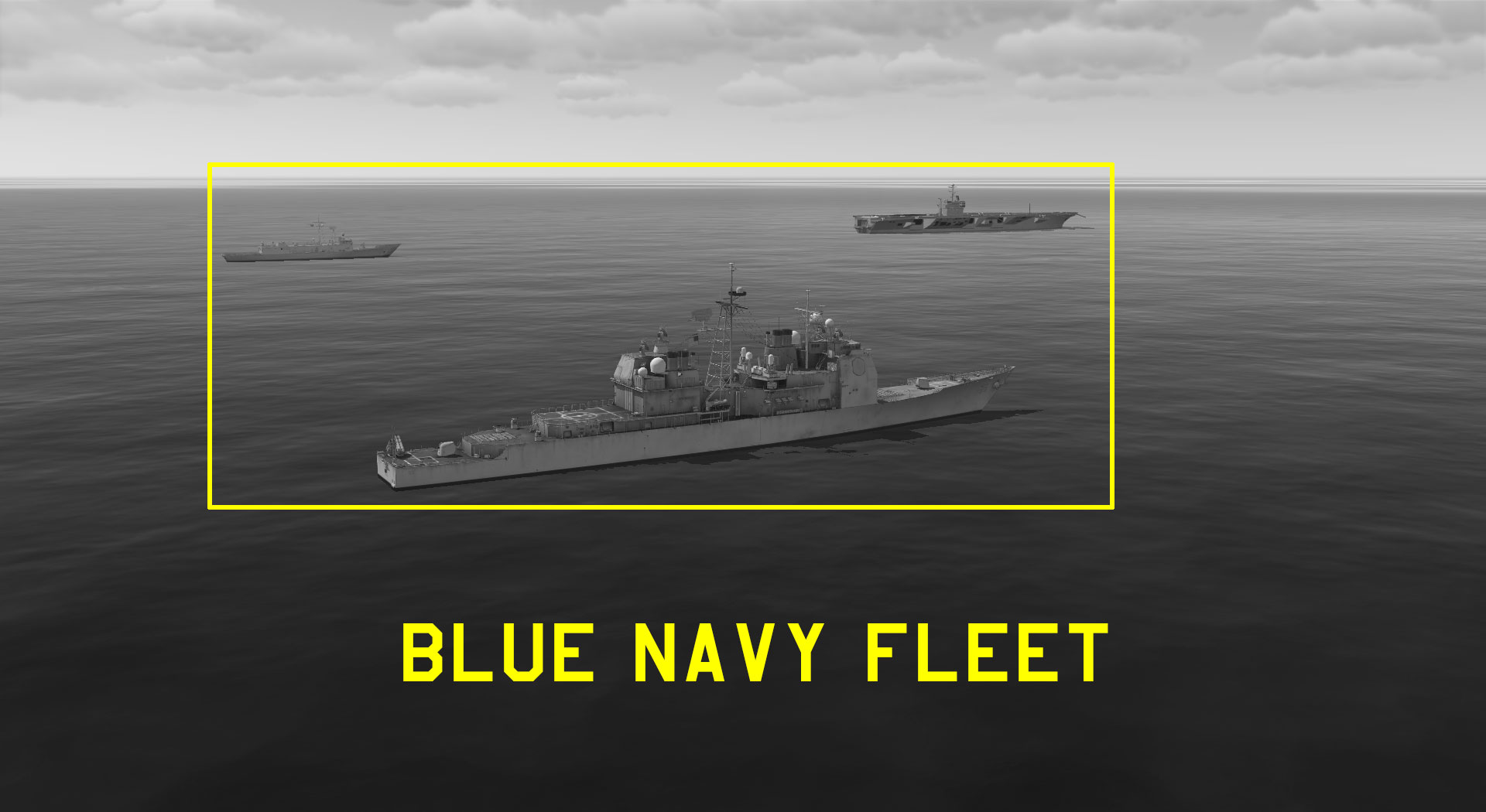
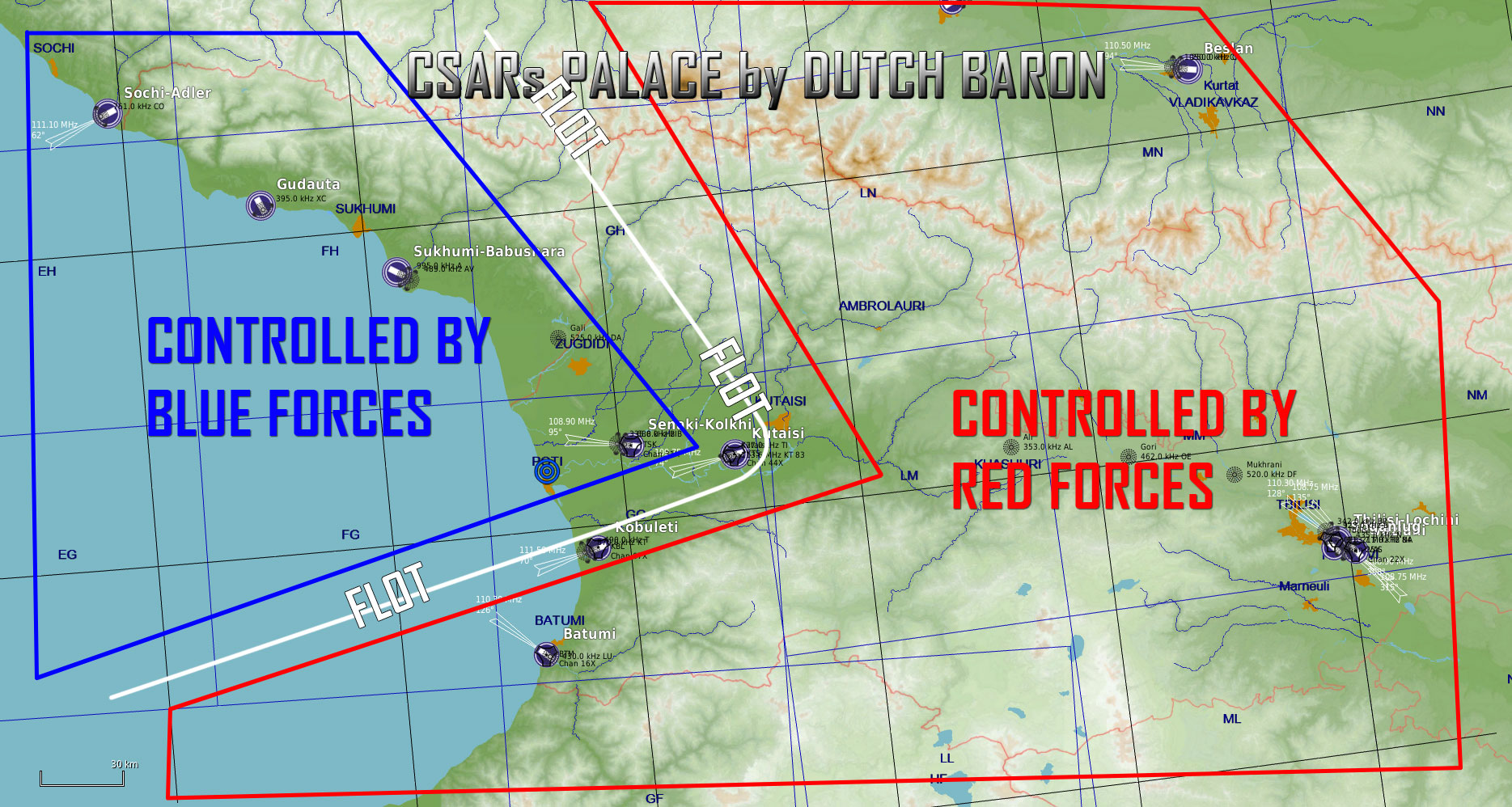
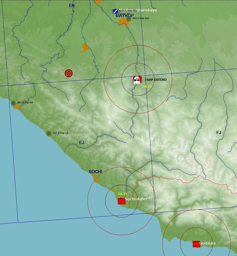
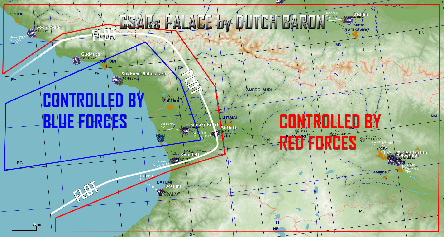
Using the Black Sea as their entrance point in the area, NATO BLUE forces have established control over most of the coastal region in the Crimea area.
They are setting up several SAM sites and are working on EWR systems. The RED forces have setup a radio jammer preventing the use of EWR until it has been destroyed.
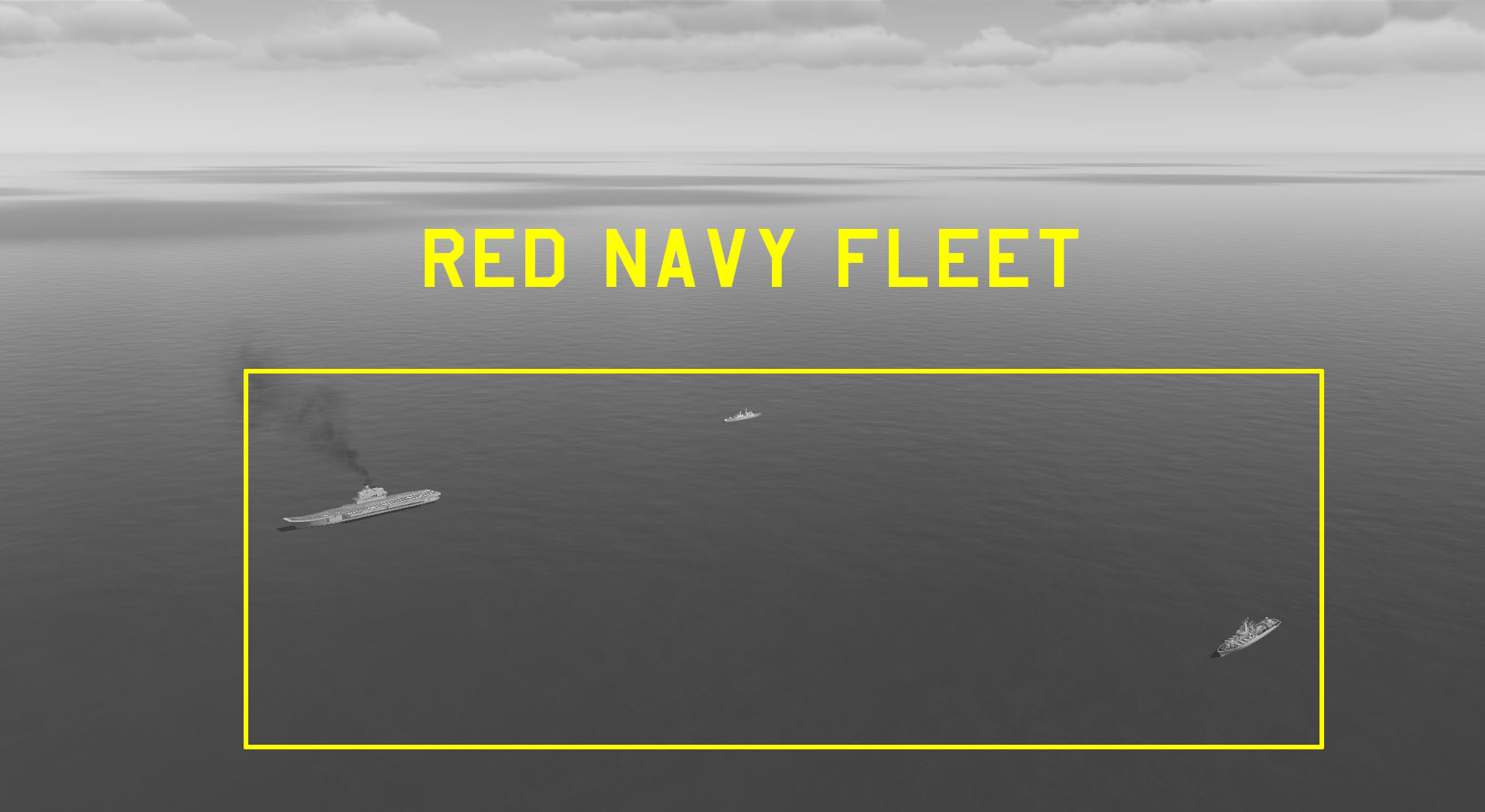
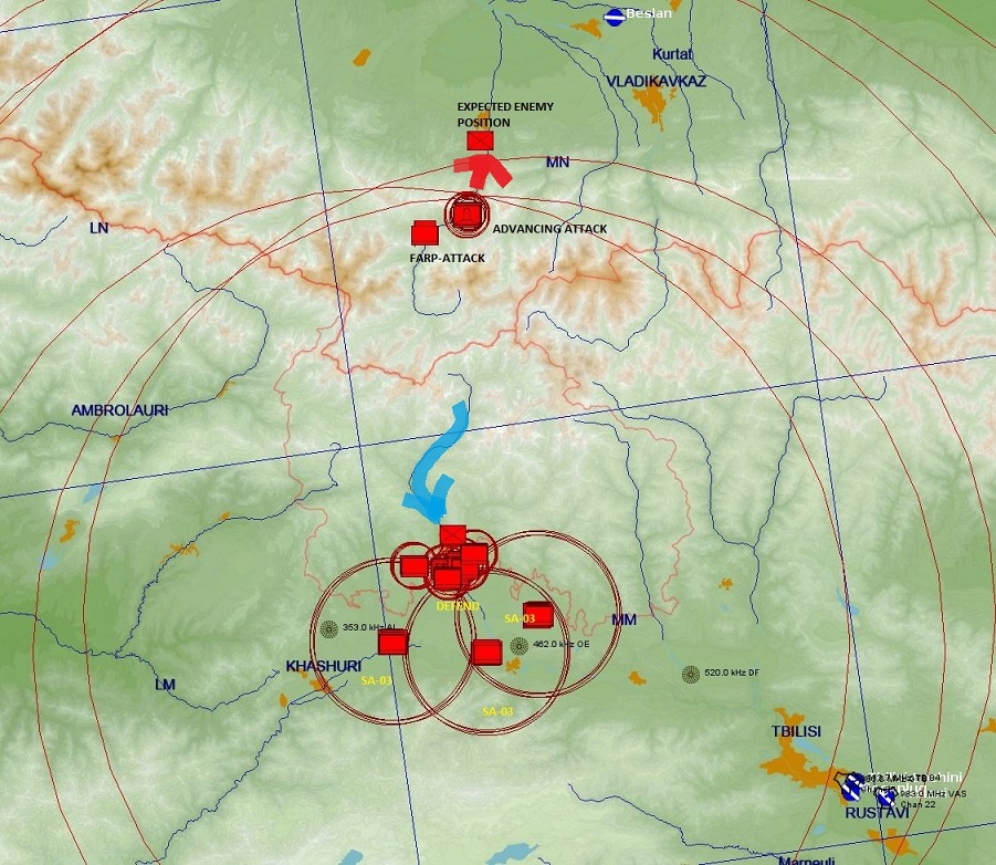
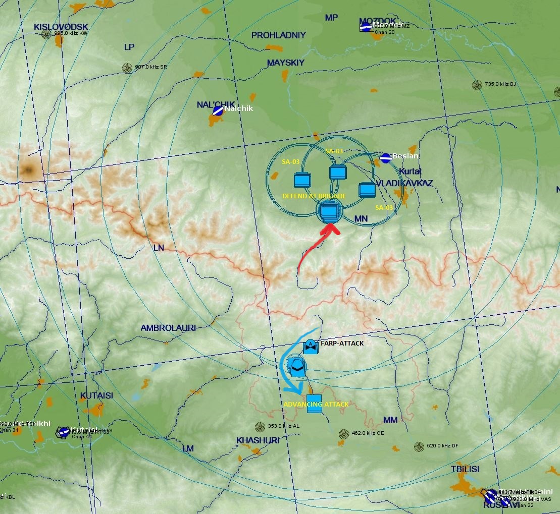
The Russian led RED coalition has a firm grip on the area North and East of the Caucasus mountains. They have setup a few SAM sites and are working on setting up a massive EWR system high in the mountains. But the BLUE forces have a radio jammer in place that prevent the usage of EWR, until is has been destroyed.
THIS IS A RECIPE FOR DISASTER!!!


Chopper mission for both coalitions:
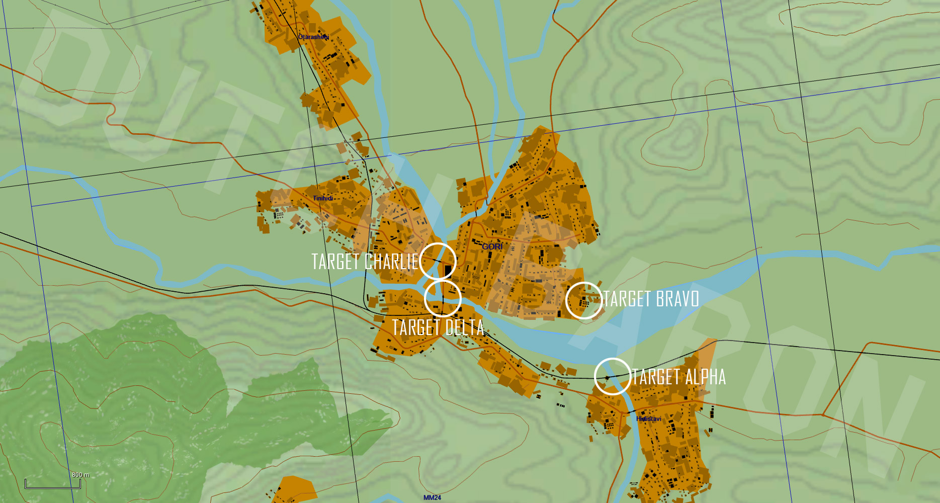
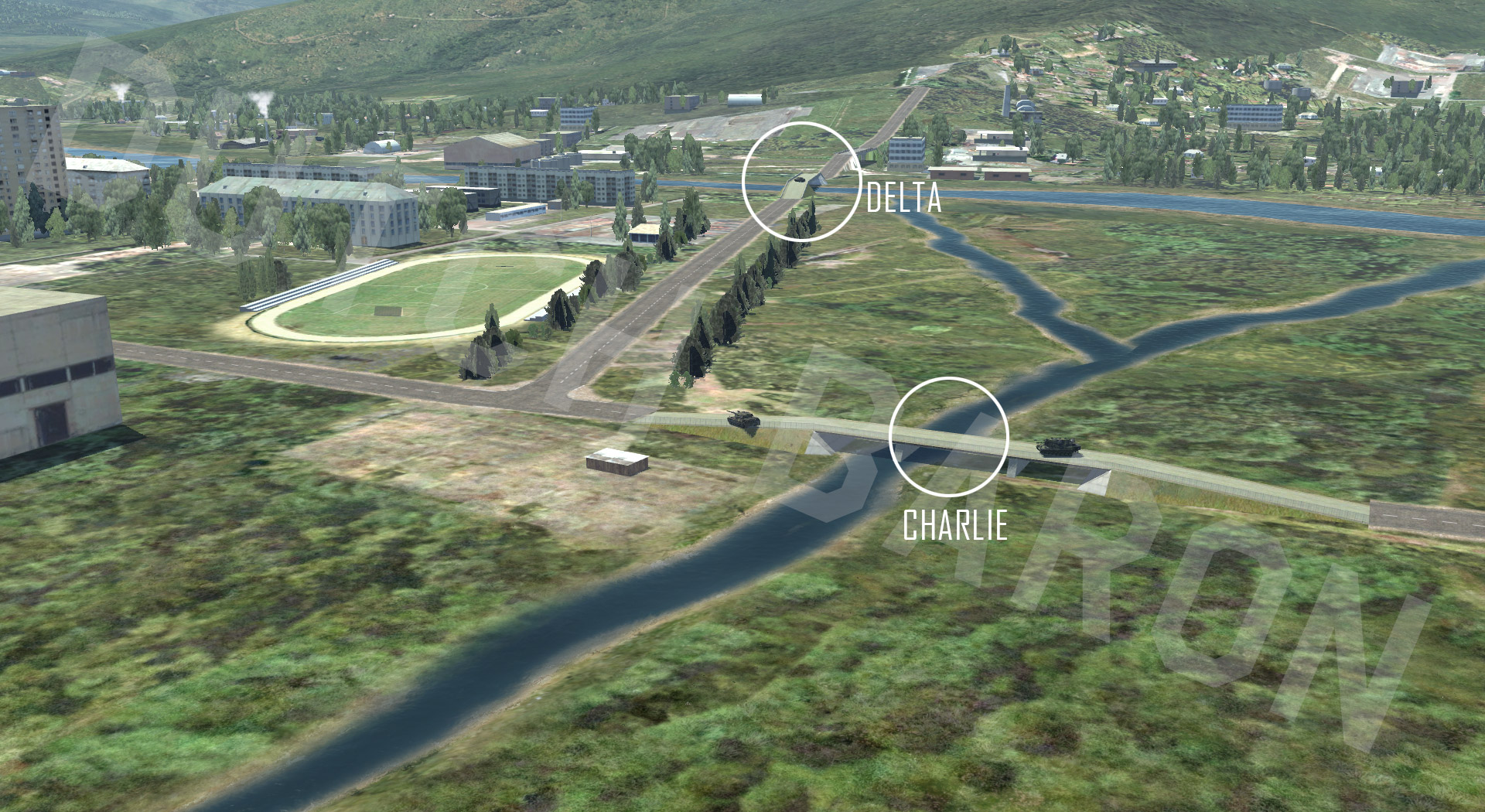
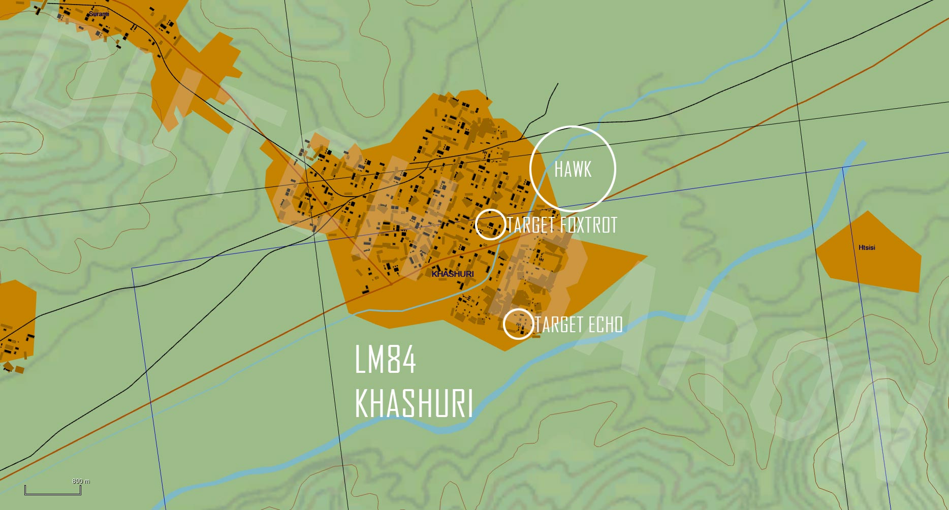
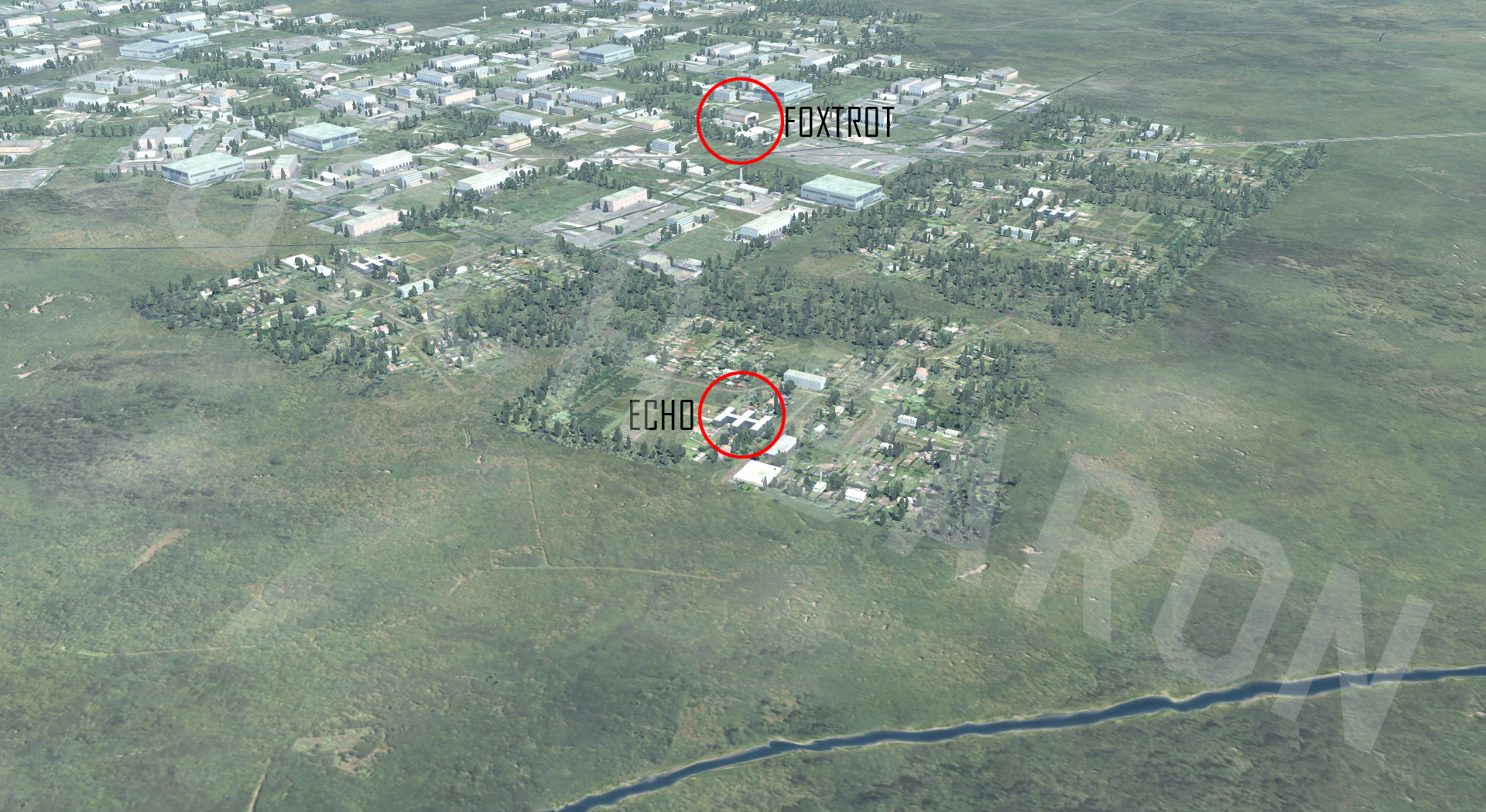
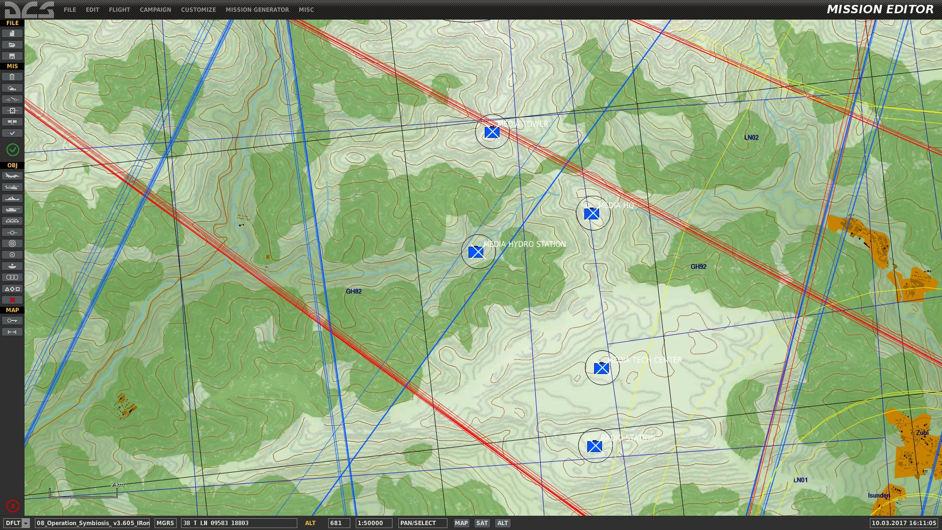
Capture all 5 MEDIA CENTER locations by picking up STANDARD TROOPS (using CTLD) from FARPS.
Each zone needs to have at least 5 coalition troops to occupy it, after all 5 locations have 5 or more same coalition troops, the whole MEDIA CENTER is captured by one coalition.
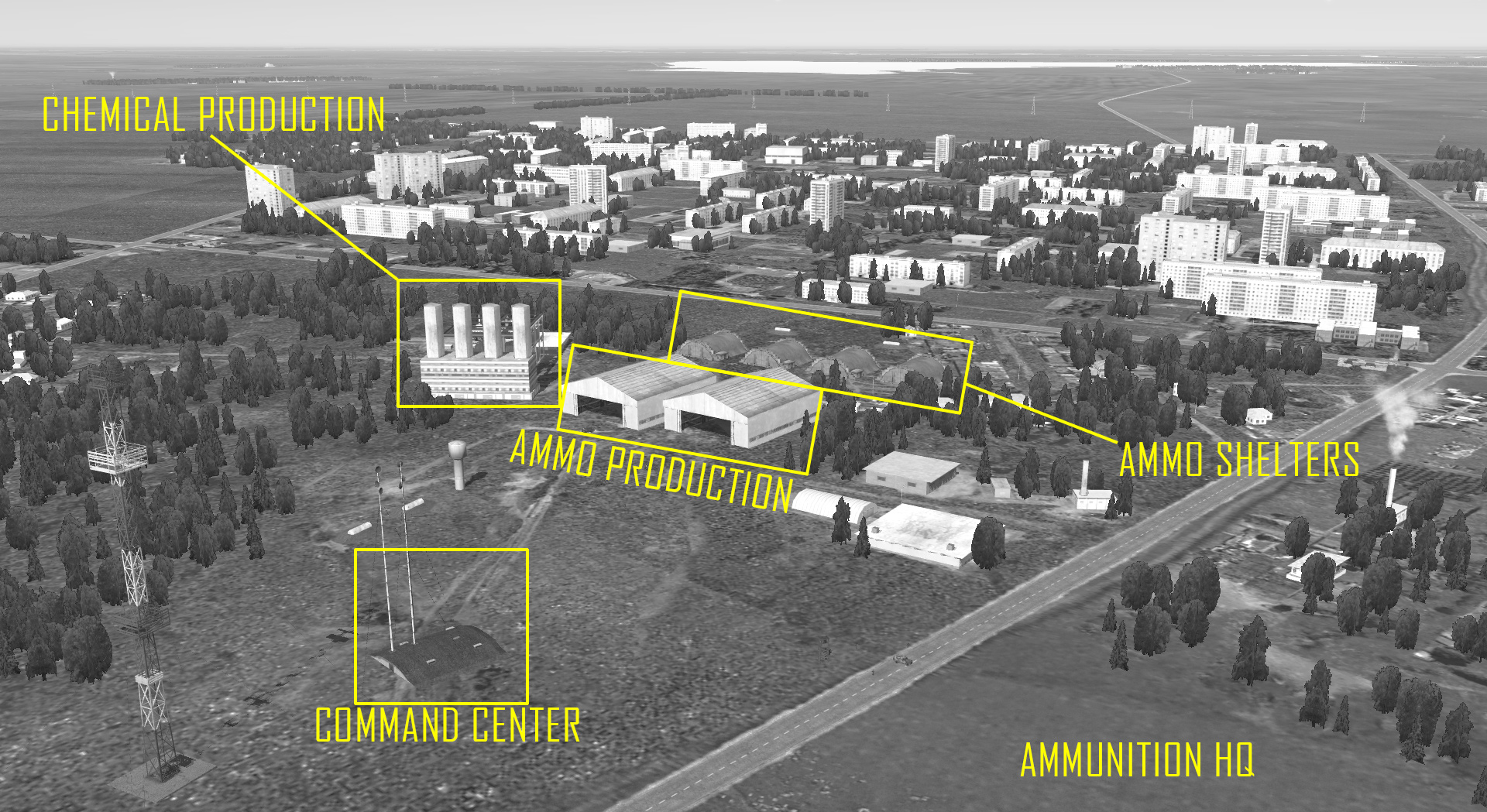
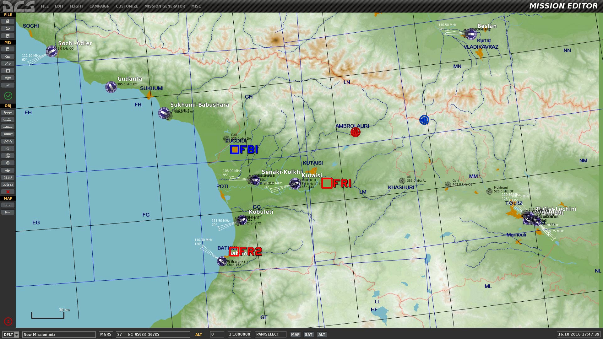
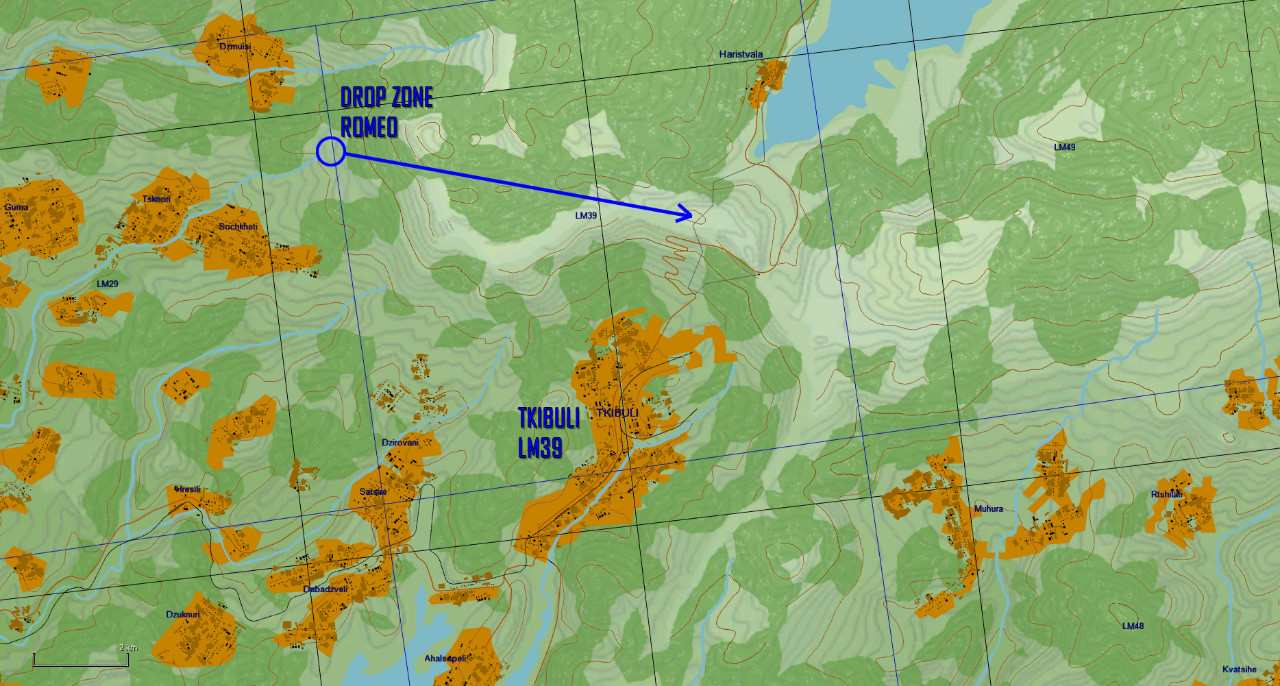
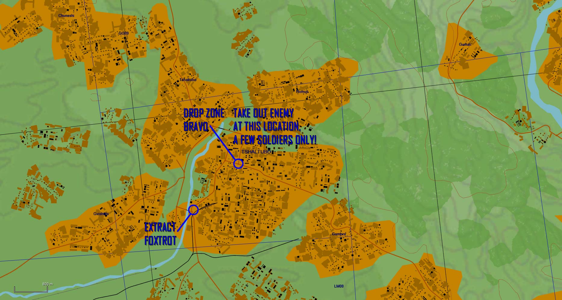
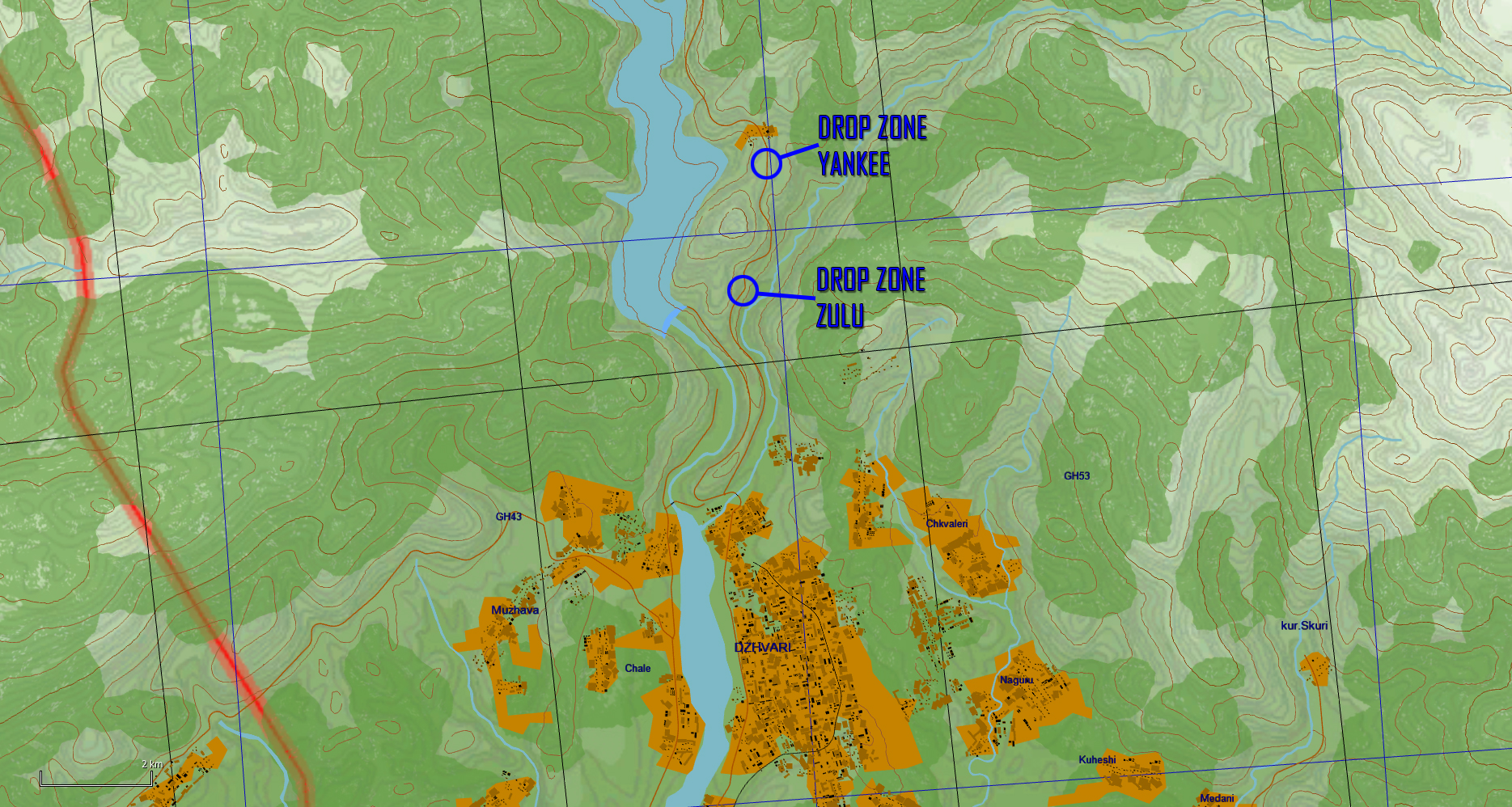
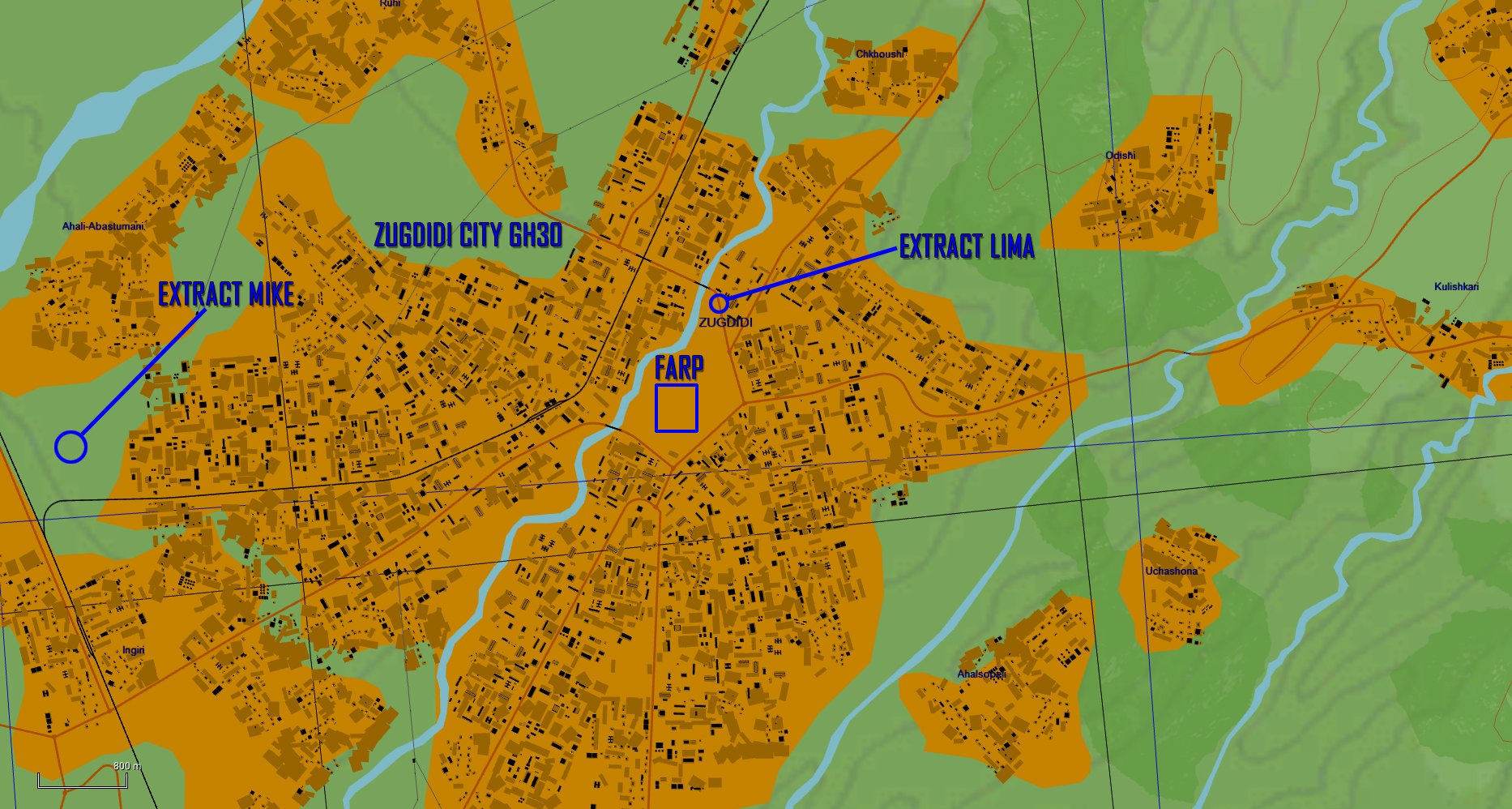
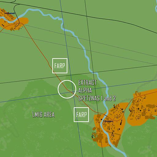
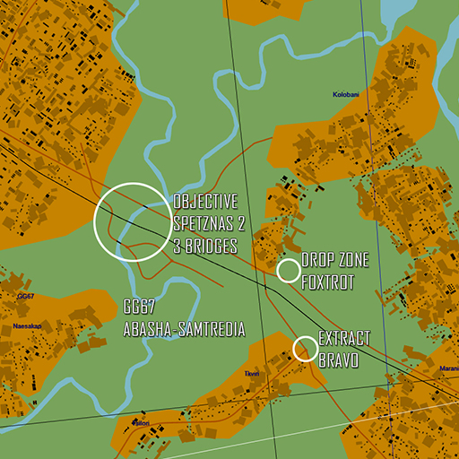
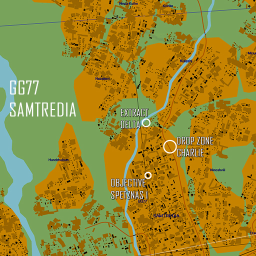
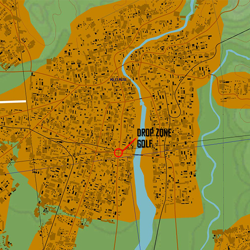
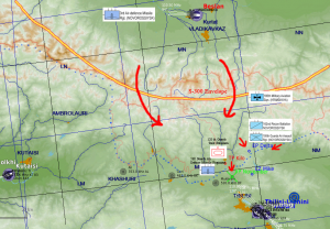
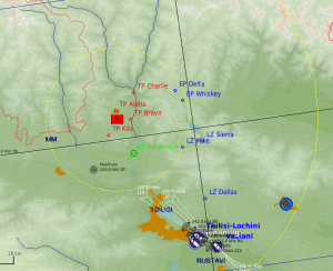
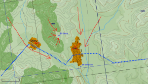
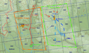
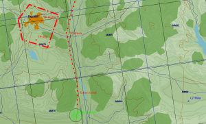
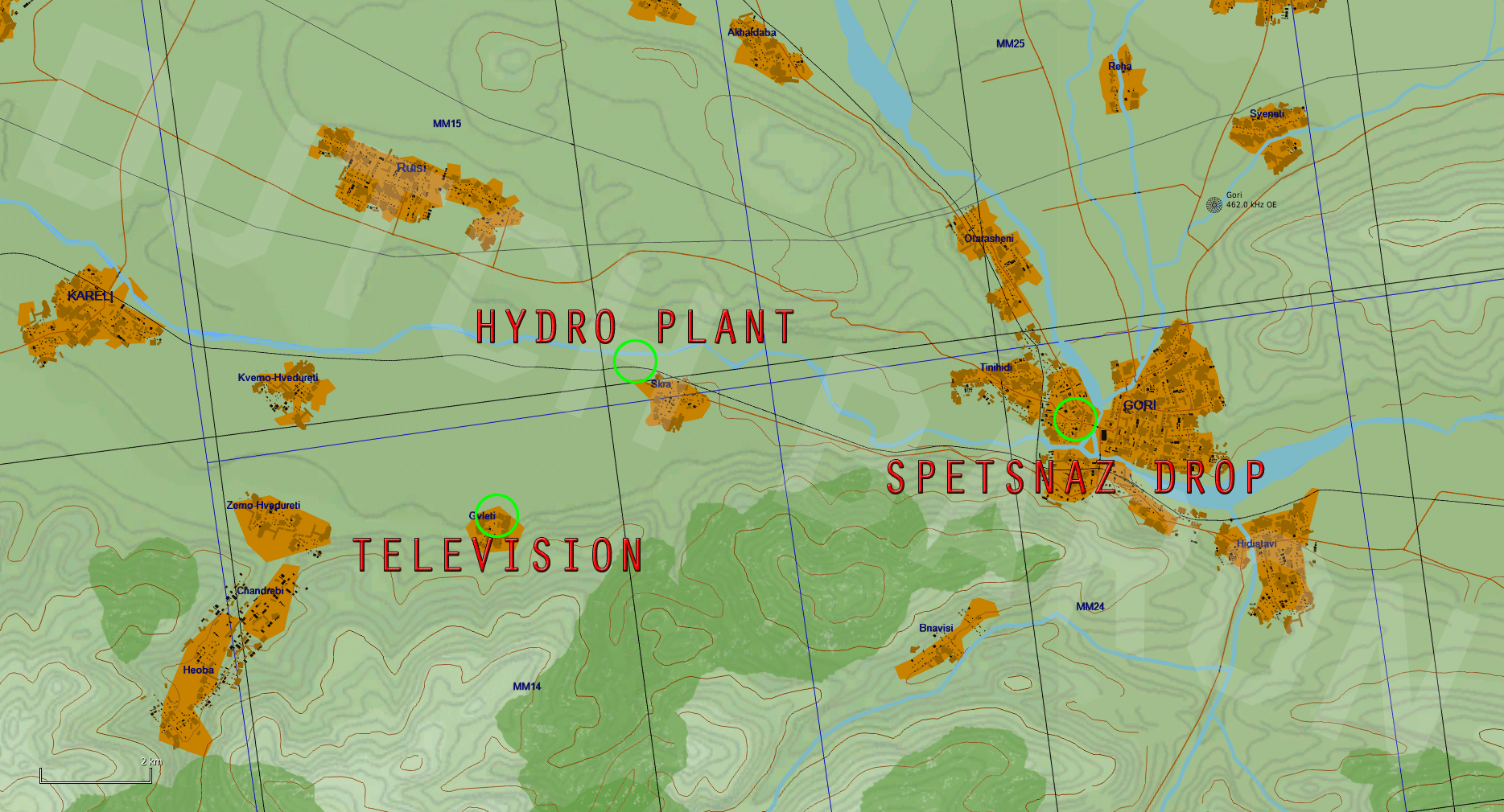
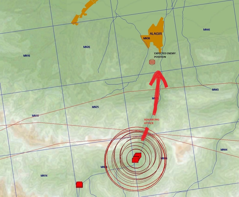
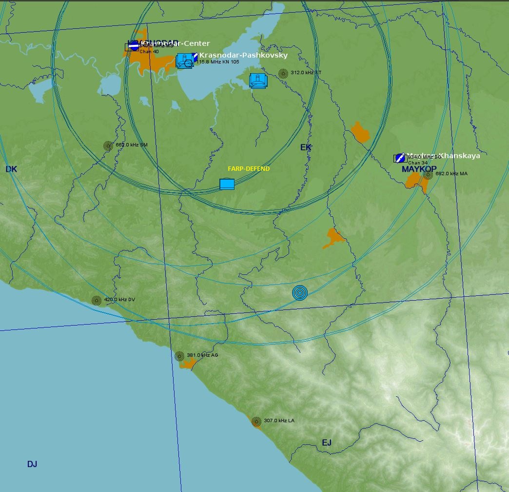
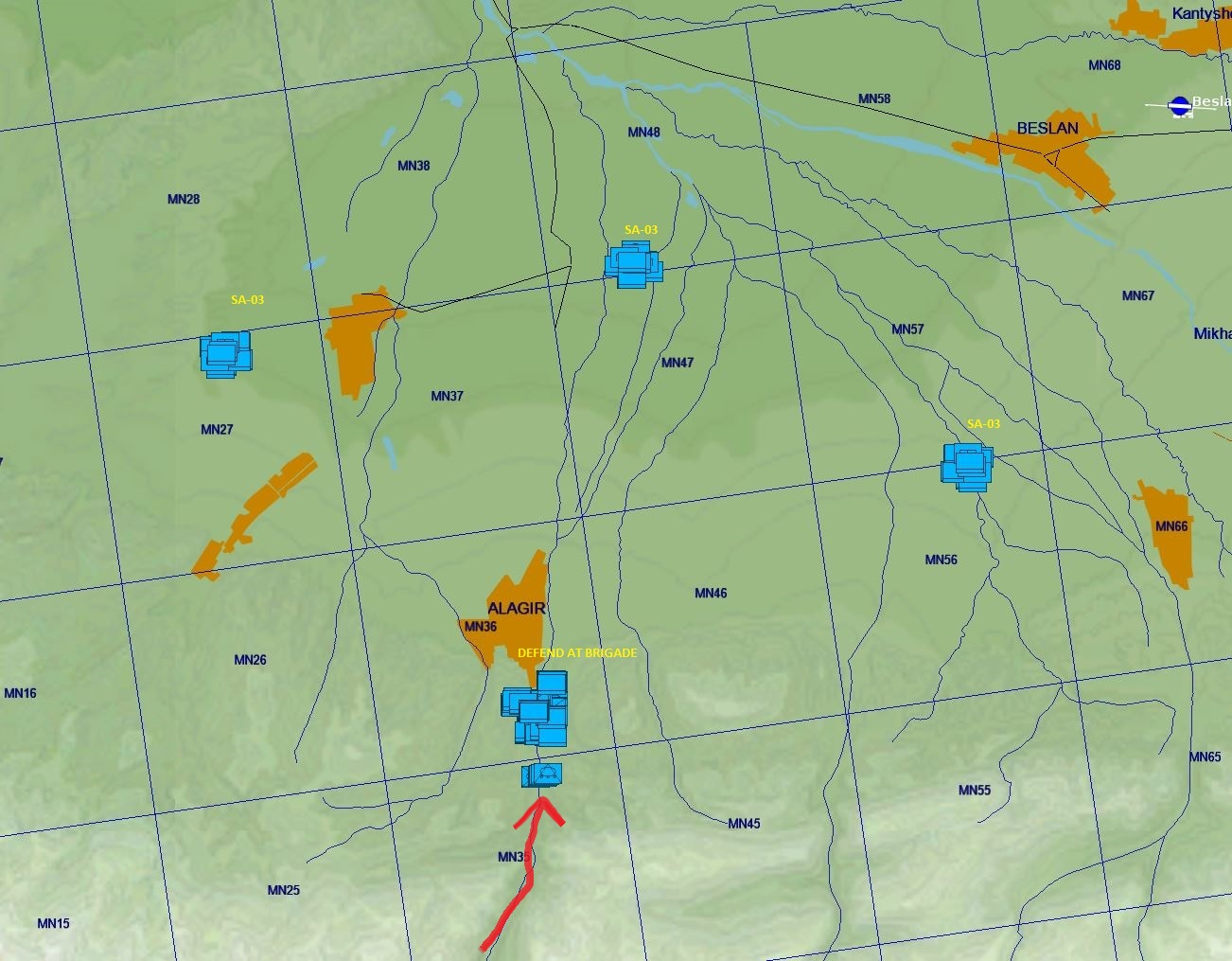
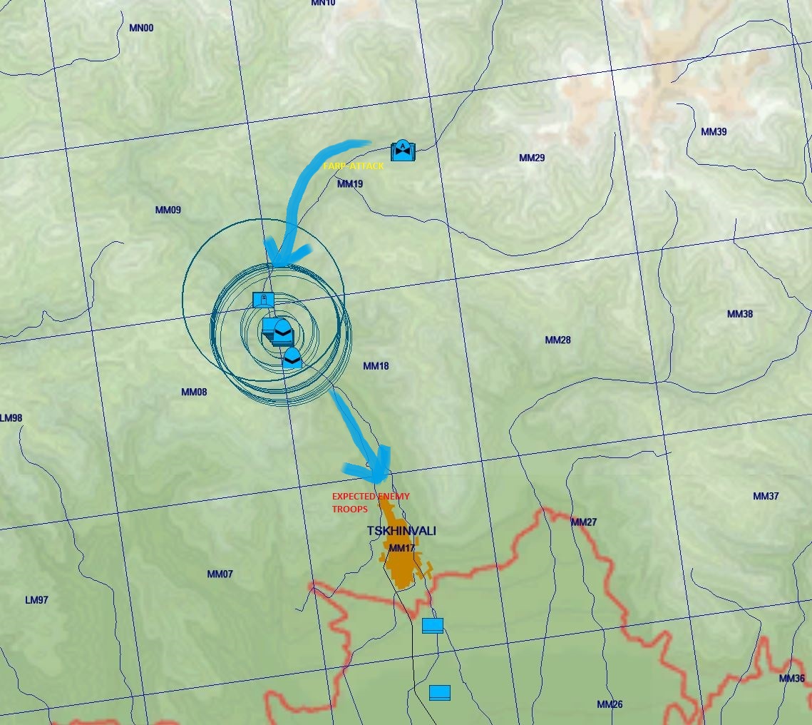
The area is on the FLOT between BF2 and RF2, around GH82/GH92.
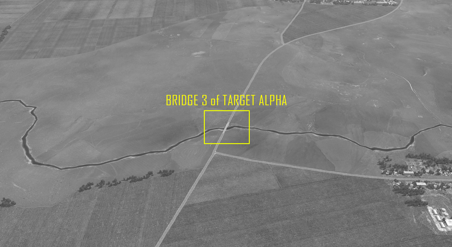
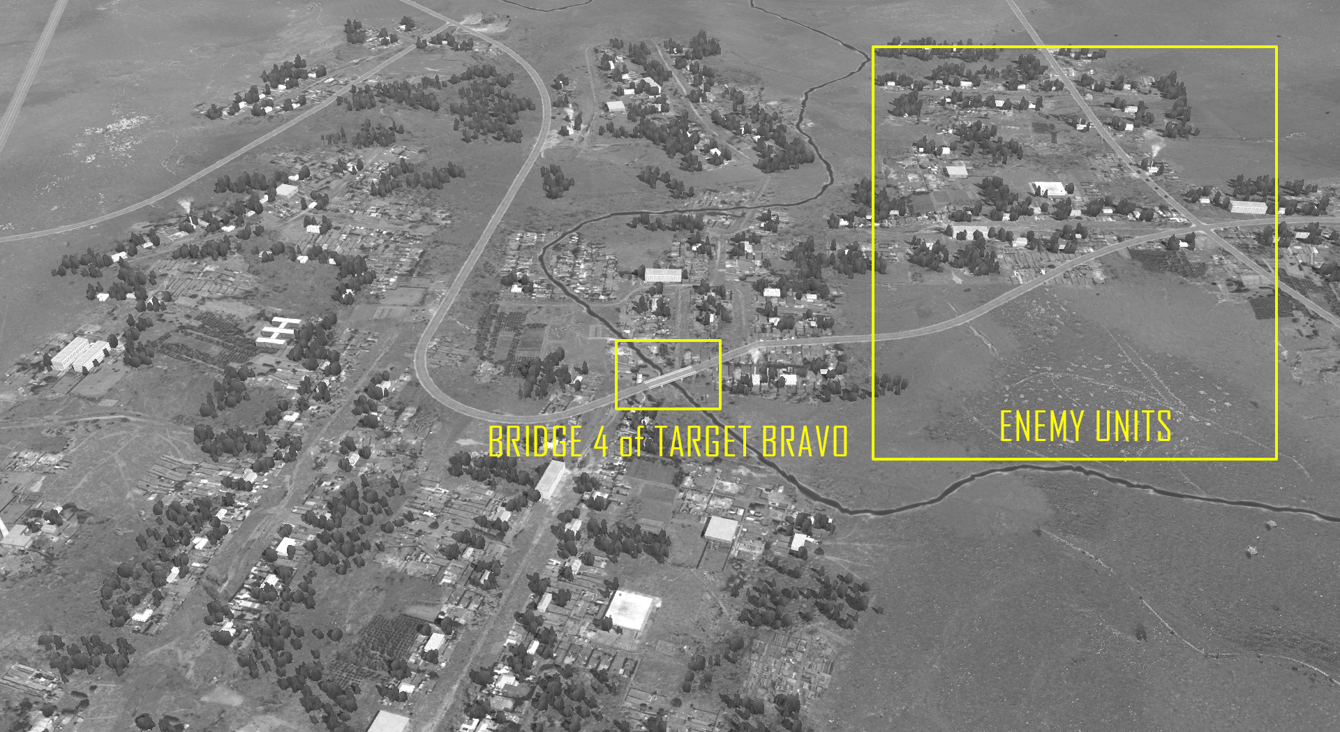
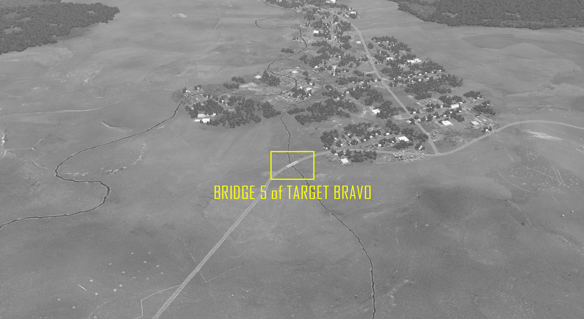
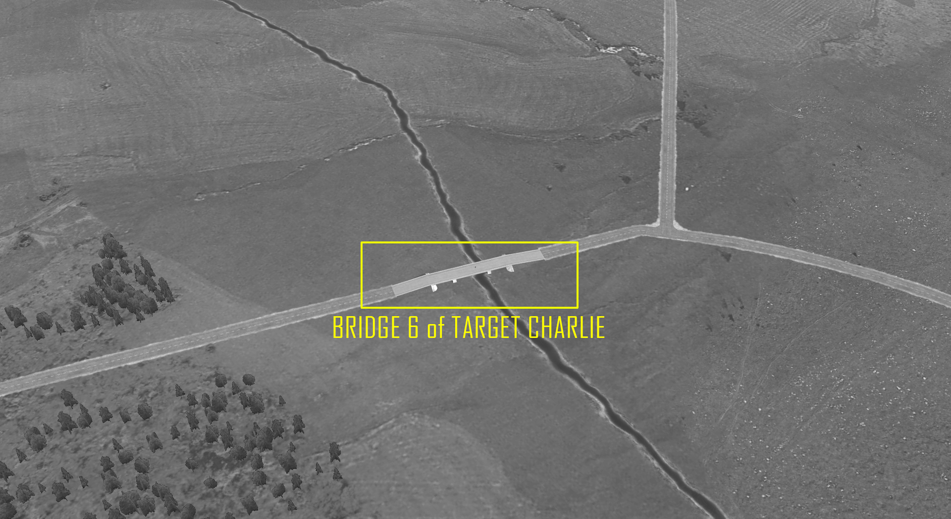
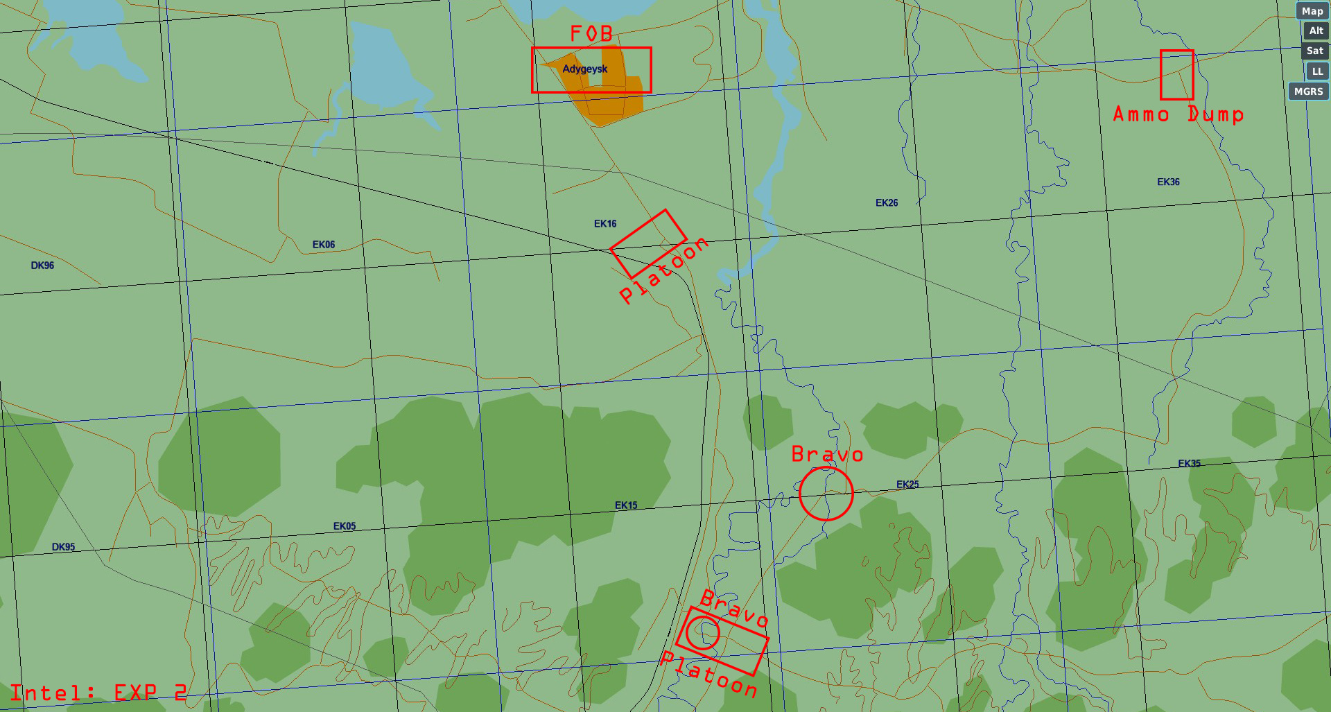
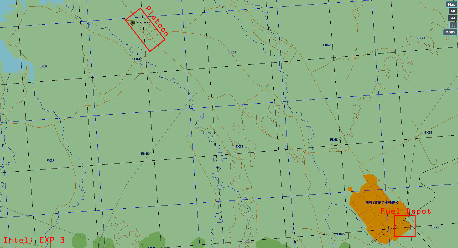
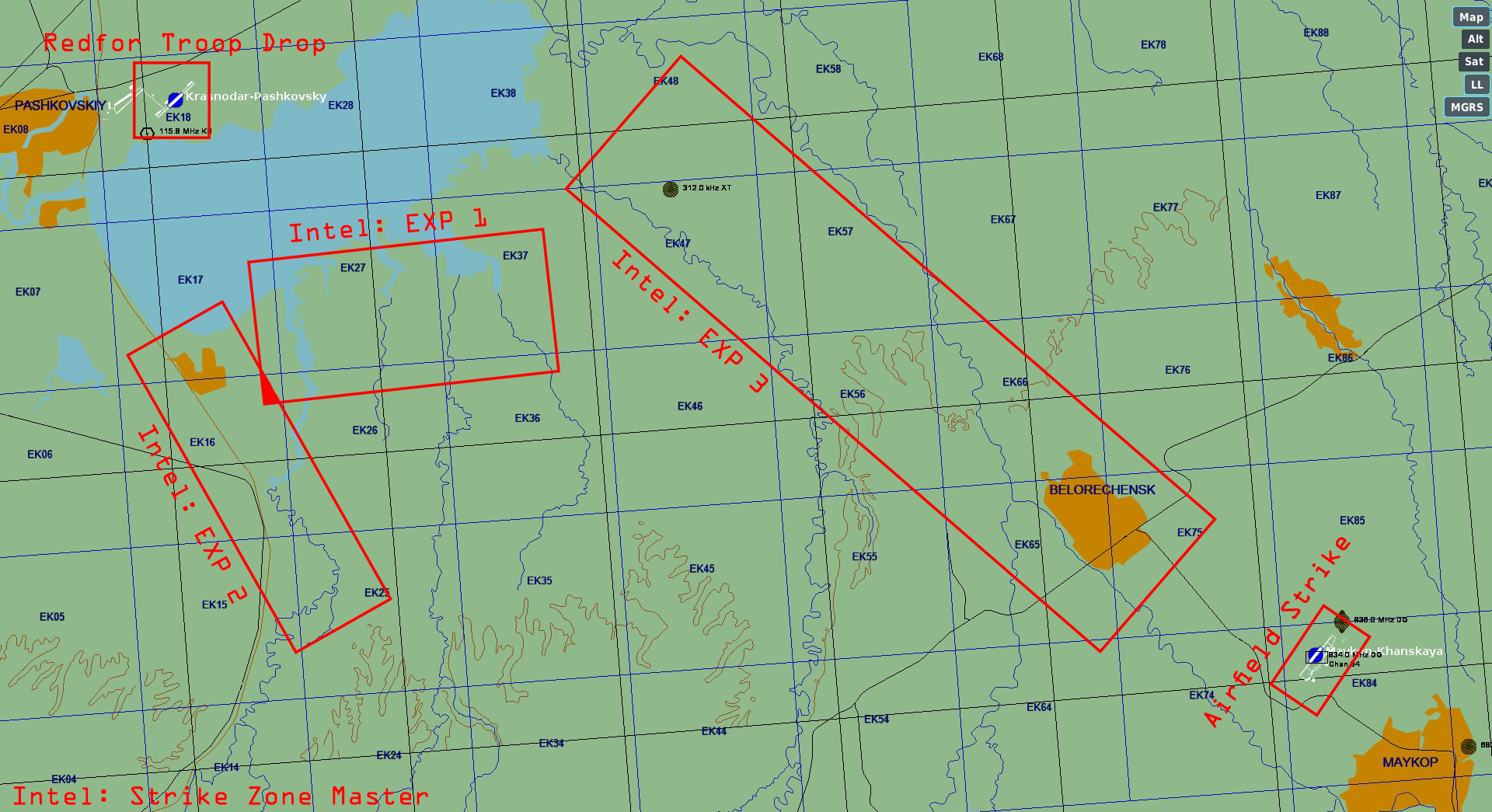
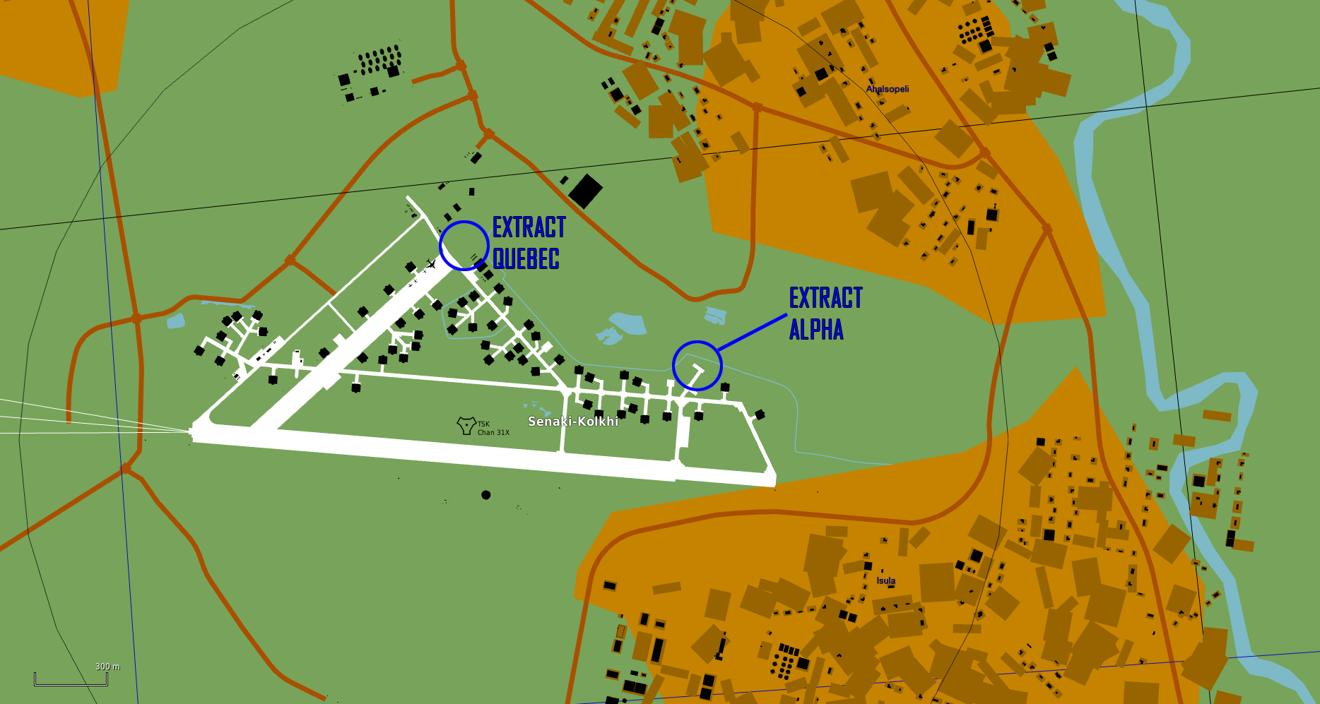
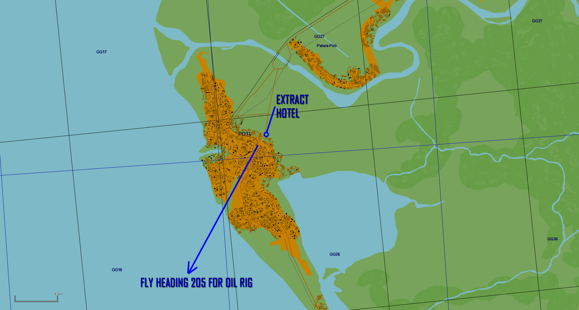
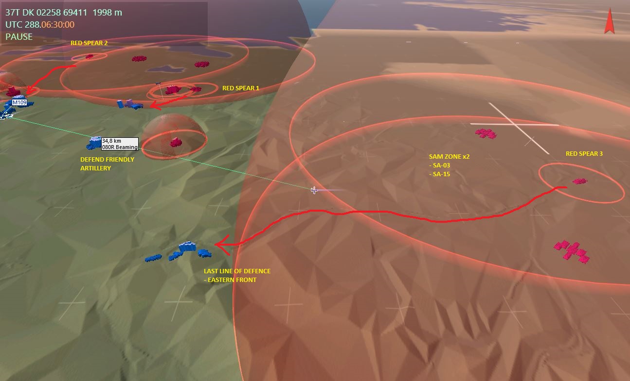
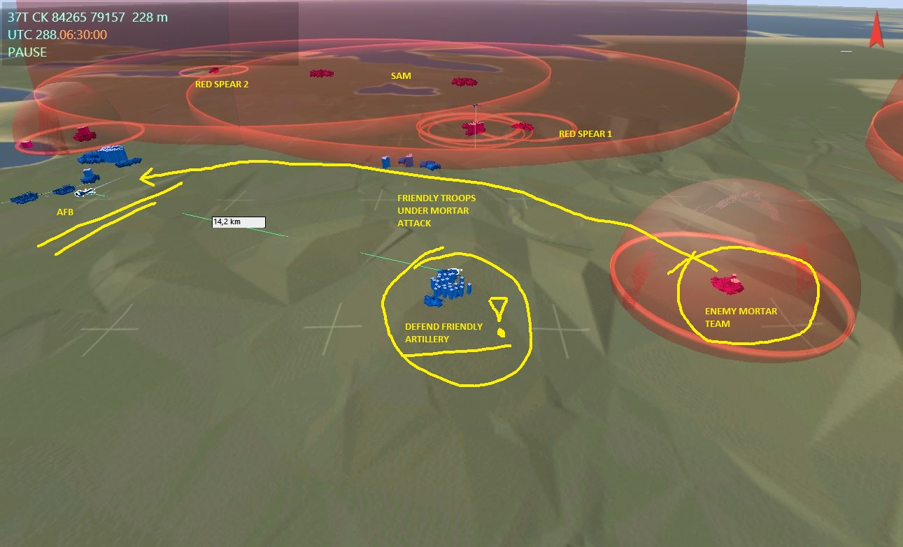
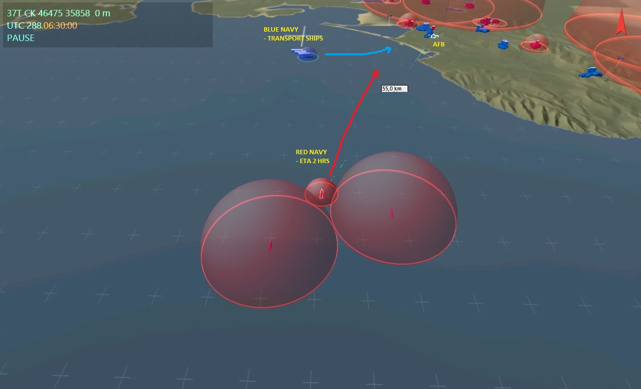
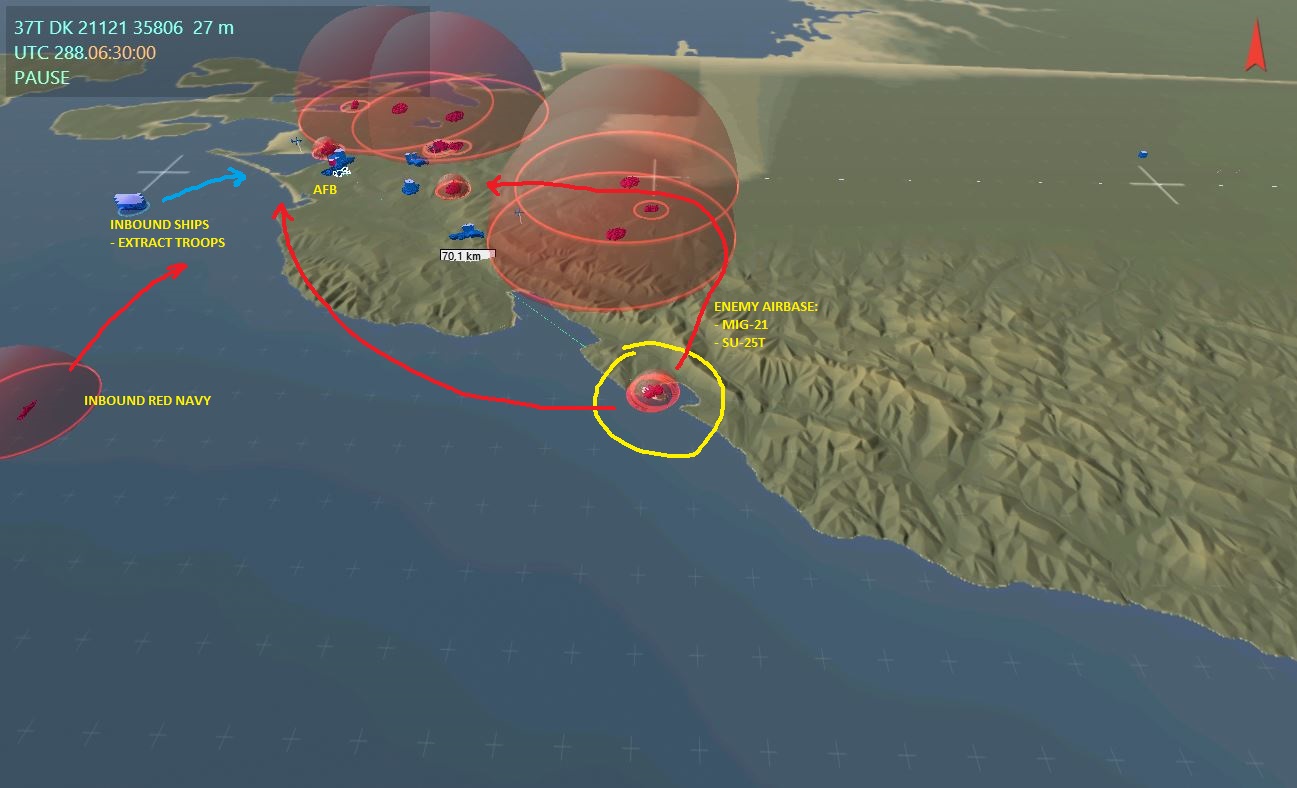
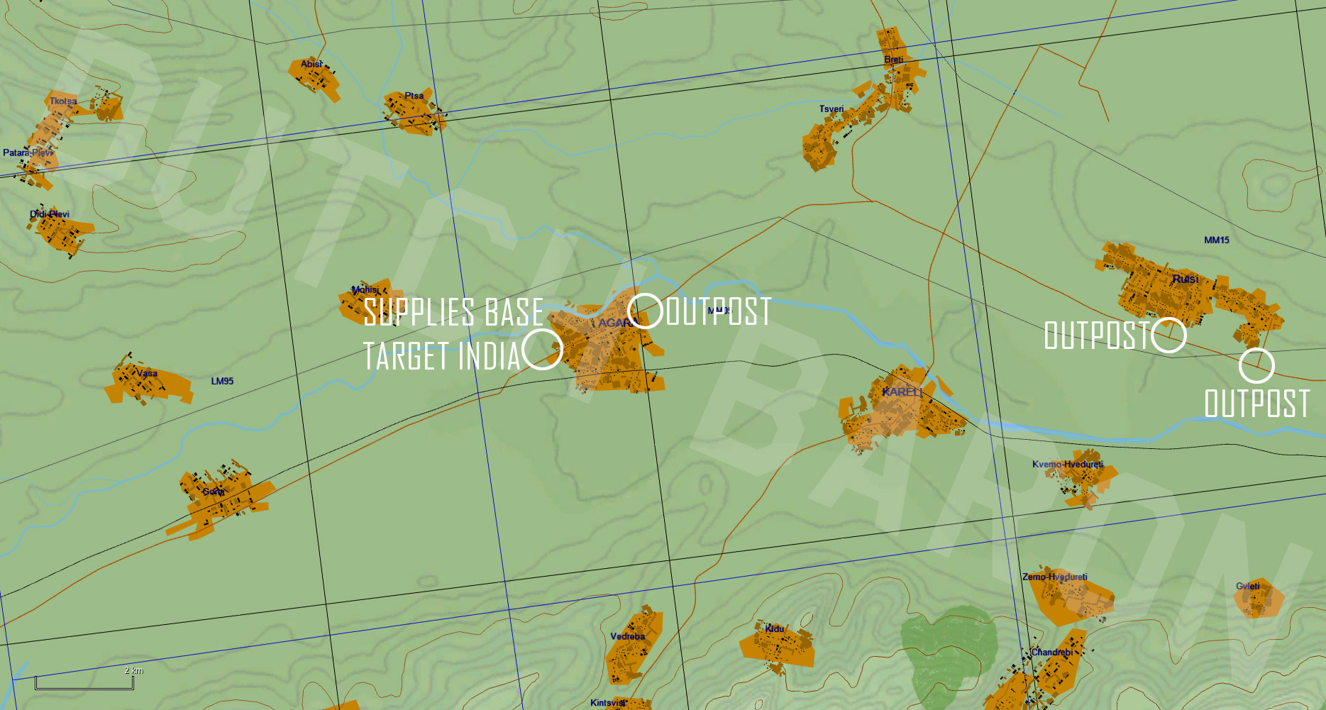
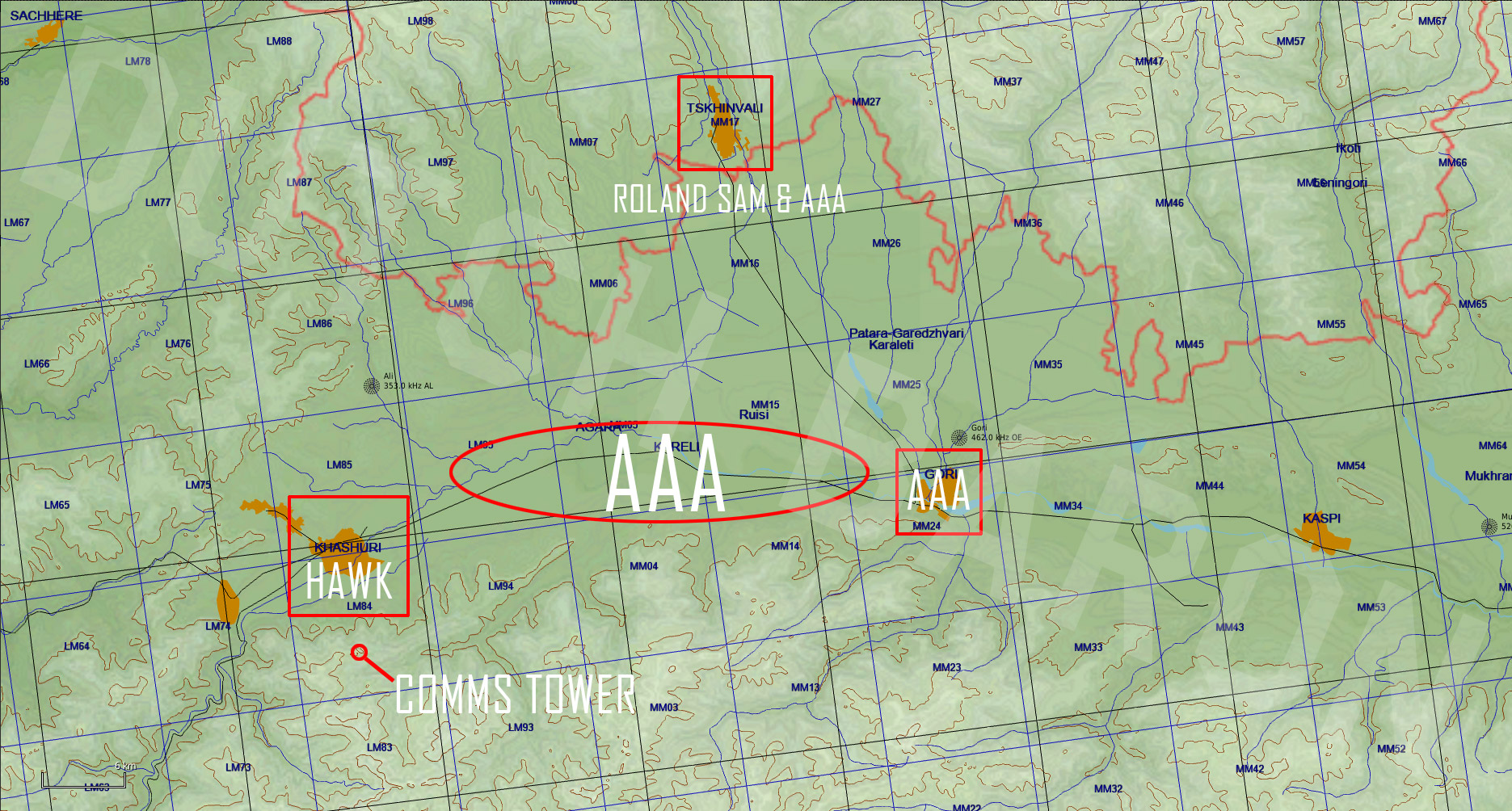
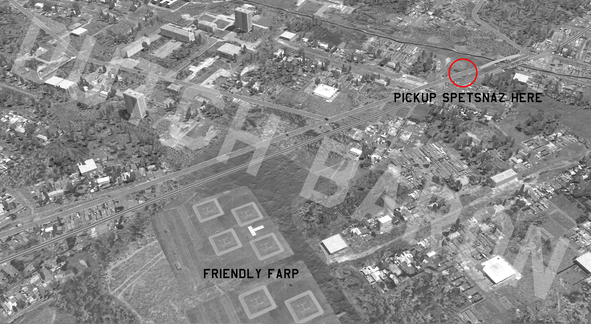
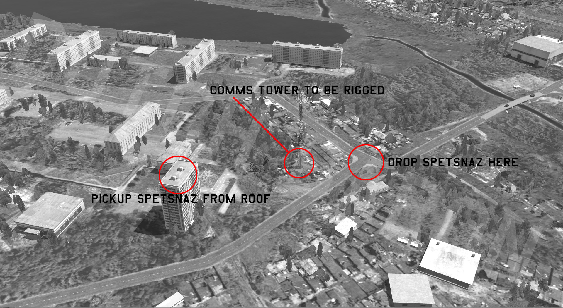
Here is a picture of the location:
<<<<<<<<<< BLUE FORCES: >>>>>>>>>>
USE WAYPOINTS TO FIND GROUND AND AIR TARGETS
CHECK FOR NEW INTELLIGENCE REPORTS, WRITE DOWN INFO PASSED DURING THE MISSION ON PAPER!
Keep control over the current airbases:
– Sochi-Adler
– Gudauta
– Sukhumi-Babushara
– Senaki-Kolkhi
– Kutaisi
————————————————–
MAIN OBJECTIVES:
STRIKERS:
MAIN TASK: Take out enemy RADIO JAMMER so our forces can use EWR!

SECOND TASK:
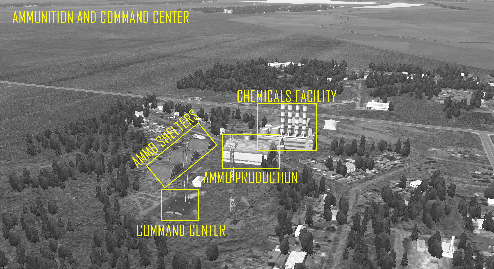
Take out enemy FOB, BUNKER ENTRANCE, AMMO BUNKER and COMMAND CENTER.

DEFENSE:
– Protect the PATRIOT site at GH42 which is almost ready to activate, parts needed are being transported from the sea, defend them and make sure the PATRIOT will be active!
– Protect the NATO HQ in the bunker embedded in the mountain near the INGURI DAM next to FARP BF2 (GH44).
– Protect our SAM sites from enemy SEAD missions, look for the strikers who will most likely operate undetected flying low through canyons and will suddenly pop up for a strike.
– Protect ground forces transporting new HAWK SAM sites and DRONE systems from Kutaisi to Haristvala LN30.
– There is also a convoy heading North from Kutaisi trying to setup a SAM site on a mountain near LN25, protect them.
OFFENSIVE:
Take out the SAM sites near Nalchik AFB (LF82) and on a mountain top near LN83.
Be advised, the enemy is setting up more SAM sites and EWR systems, when more info is available you will be notified, BE SURE TO ACT FAST to new intelligence reports.
SECONDARY OBJECTIVE:
– Take out enemy troops and convoys between TYRNYAUZ (LP30) and a high mountain near GH88.
– Destroy runway of Nalchik AFB (LP81) since that is most likely used for enemy strike aircraft.
– Destroy enemy ground forces near GJ21 in the city of TEBERDA , they have SAM cover.
—————————————————-
HELICOPTERS:
USE CTLD AND CSAR (F10 MENU)
ALL FARPS ARE LOGISTICS POINTS
KUTAISI LOGISTICS POINT:

– Capture airbases, setup air defenses, CAS
SABRE FLIGHT @ KUTAISI
Logistic point @ KUTAISI is AIRSHOW CONE
WP1 FB1
WP2 FB2
WP3 SENAKI-KOLKHI AFB
WP4 KUTAISI AFB
————————————————
IMPORTANT ENEMY COORDINATES:
~~ FARP ~~
RF1
GH89 – Center
43°15.01685′, 042°31.42488′ 2106m
38 T KN 98982 91586 6909feet
RF2 (SAM-Manpad,AAA,Shilka)
LN14-South Into LN13-North
42°47.37193′, 042°43.28800′ – 750m
38 T LN 13644 39961 – 2364feet
RF3 NO SPAWN
LN41 – South-East
42°31.73123′, 043°09.18027′ – 520m
38 T LN 48307 10150 – 1709feet
~~ JAMMER ~~
RED JAMMER – AAA
LN46 – Center
43°00.87886′, 043°04.19327′ – 4965m
38 T LN 42715 64249 – 16291feet
~~ RED FOB AND COMMAND CENTER ~~
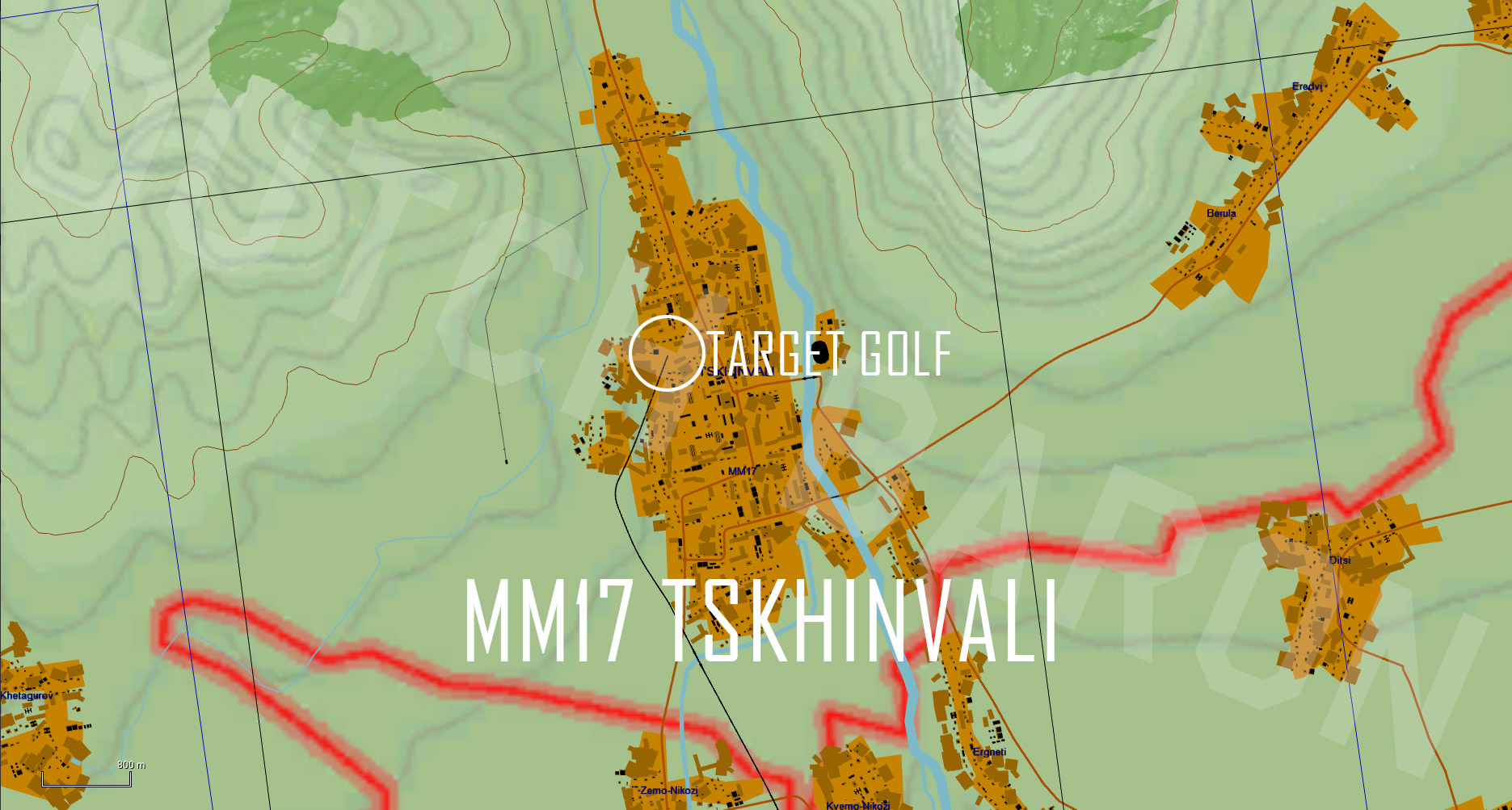
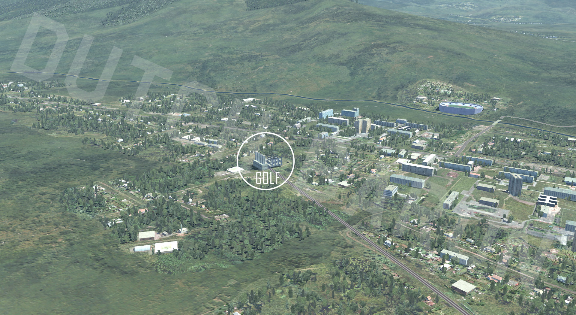
FOB COMMS TOWER
LN77
38 T LN 74125 75961
43°07.55557′, 043°27.15171′
RED FOB COMMAND CENTER
LN77
38 T LN 74215 75929
43°07.53918′, 043°27.21850′
RED FOB BUNKER 1
LN77
38 T LN 74294 75900
43°07.52431′, 043°27.27715′
RED FOB BUNKER 2
LN77
38 T LN 74253 75828
43°07.48501′, 043°27.24790′
~~ SAMS ~~
RED Mountain-SAM
GJ70 – Center-East
43°21.26325′, 042°26.47348′ – 5500m
38 T KP 92637 03350 – 18046feet
SAM TOR-EAST
LN83 Center-East
42°44.75094′, 043°37.99679′ – 2529m
38 T LN 88142 33498 – 8298feet
~~ TROOPS ~~
KISLOVODSK-HAWK
(AAA,SAM Patriot)
LP16 – Center
43°53.76400′, 042°43.23190′ – 881m
38 T LP 16925 62855 – 2892feet
~~ AAA ~~
SOG-AAA
MM911 – South
41°38.97278′, 044°56.08457′ – 447m
38 T MM 94566 10869 – 1469feet
IMPORTANT FLIGHT WAYPOINTS:
KUTAISI HOG – WP2 BULLSEYE
between WP3/4 possible ground targets
WP5 main target area with SAM activity
SENAKI HOG 11 – WP1 CAS
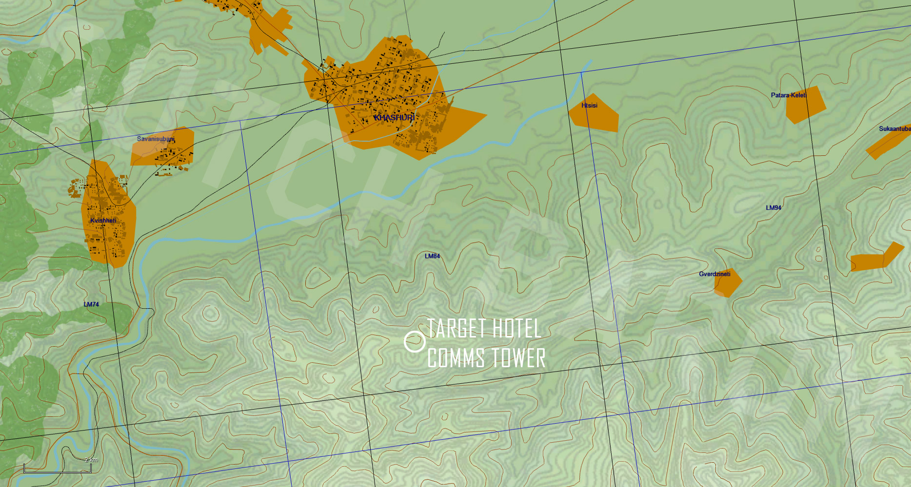
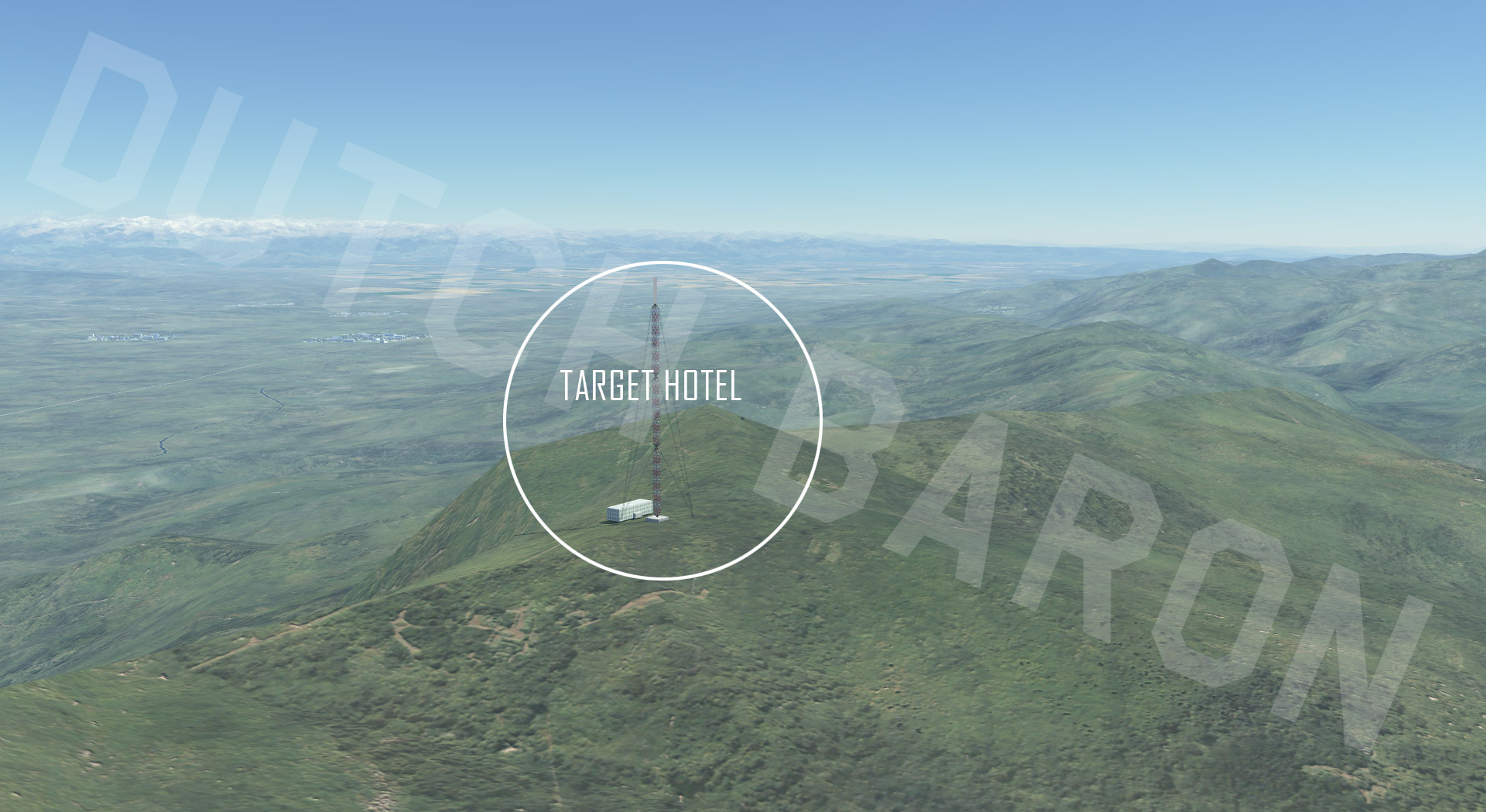
WP2 COMMS TOWER/EWR
WP3 BULLSEYE
WP4 possible CAS
REAPER – WP2 BULLSEYE
REAPER 11 – WP2 BULLSEYE
SMIRNOFF – WP2 BULLSEYE
EAGLE – WP1 BULLSEYE
VEGAS – WP2 BULLSEYE
RAPID – WP2 BULLSEYE
VODKA – WP1 BULLSEYE
FURY – WP1 BULLSEYE
VULTURE 1 – WP2 BULLSEYE
VULTURE 11 – WP1 BULLSEYE
VULTURE 21 – WP2 BULLSEYE
THUNDER – WP2 BULLSEYE
FROG – WP1 BULLSEYE
WP2 MINVODY SAM/RWY STRIKE
WP3 NALCHIK SAM/RWY STRIKE
— We have several scouts in the area, if they find anything they will report the location and their own frequency if they provide FAC.
We have a TANKER (callsign: SHELL) flying between FJ06 and LM63 at 21000ft, FREQUENCY: 251.500 AM
————————————————————————————————————-
————————————————————————————————————-
————————————————————————————————————-
————————————————————————————————————-
————————————————————————————————————-
<<<<<<<<<< RED FORCES: >>>>>>>>>>
USE WAYPOINTS TO FIND GROUND AND AIR TARGETS
CHECK FOR NEW INTELLIGENCE REPORTS, WRITE DOWN INFO PASSED DURING THE MISSION ON PAPER!
Keep control over the current airbases:
– Mineralnye Vody
– Mozdok
– Nalchik
– Beslan
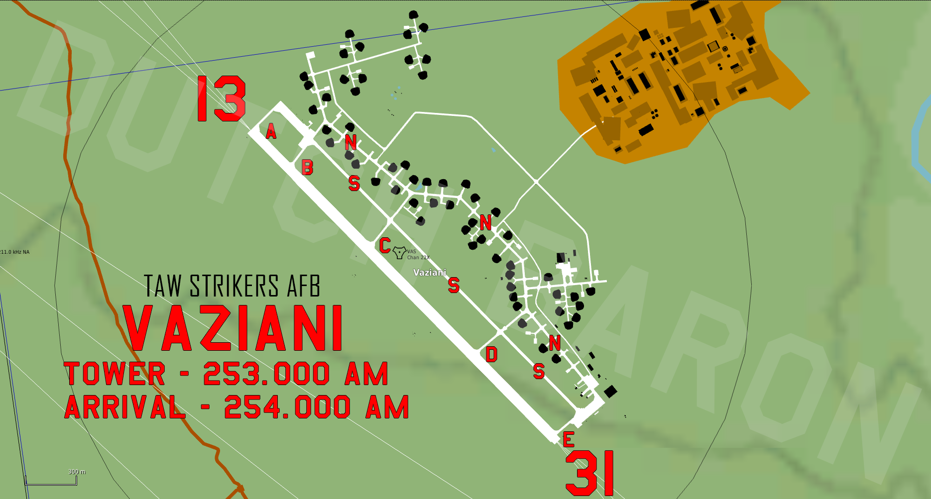
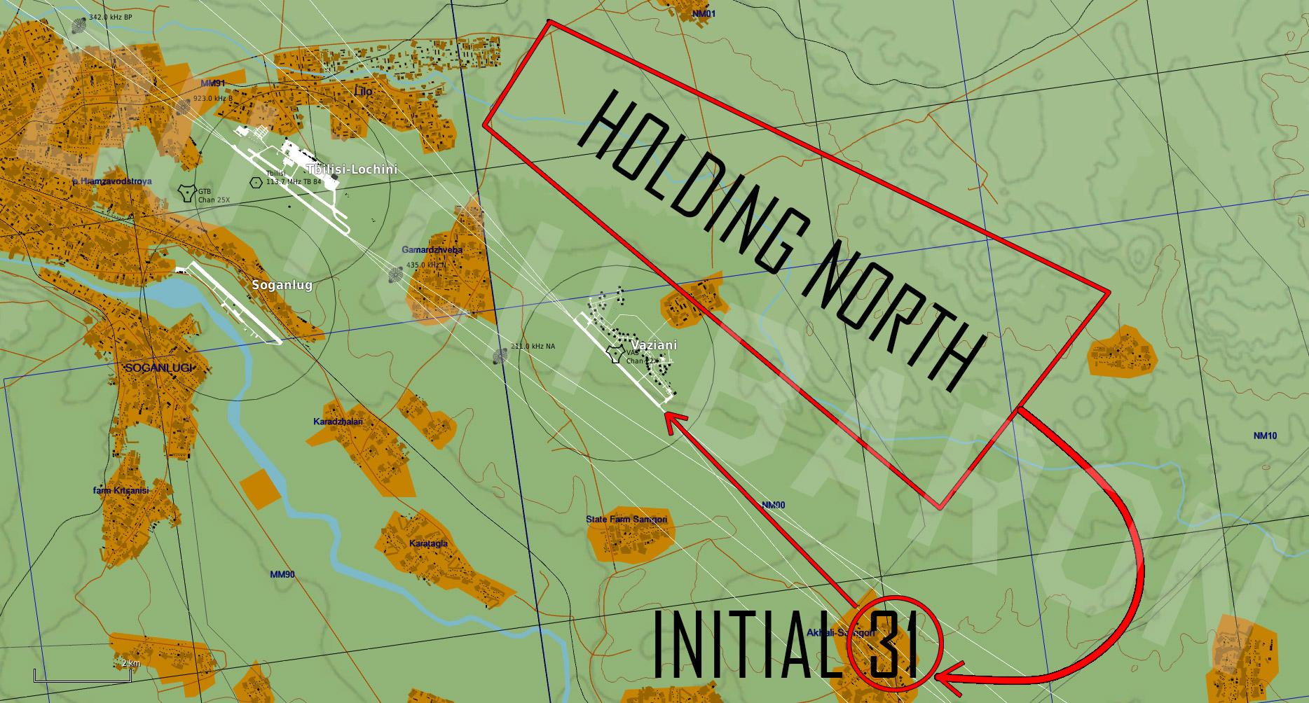
– Soganlug
———————————–
MAIN OBJECTIVES:
STRIKERS:
MAIN TASK: Take out enemy RADIO JAMMER so our forces can use EWR!

SECOND TASK:
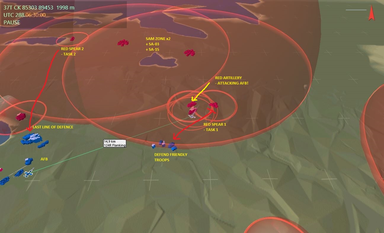
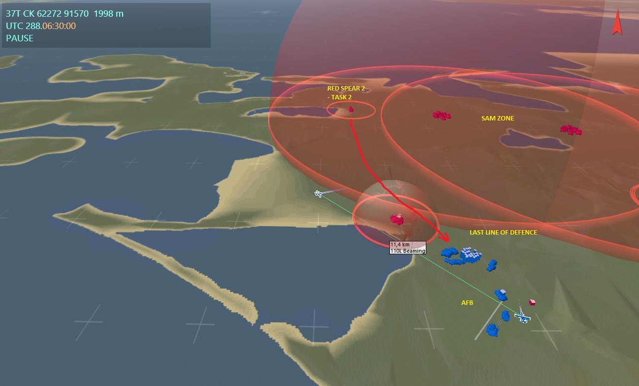
-NATO has access to a bunker complex near the Inguri Dam, there is an entrance to that bunker in a small village heading 025 for 3.5km from the dam. All NATO operations are coordinated from that bunker headquarters.
We need to take out the bunker entrance and the supporting facilities like a FARP in the small village next to the INGURI DAM and COMMS tower.
Grid location: GH44


DEFENSE:
Make sure the SAM and EWR systems high in the mountains in grid GJ70 are setup. Ground transports with the final parts are underway (TYRNYAUZ @ LP30), protect them and make sure the choppers can bring the parts up to the mountain peak from the base of the mountain (GH89 – FARP RF1).
OFFENSIVE:
-Prevent the enemy PATRIOT site to become active, parts needed to finalize the setup are underway. Our satellite has shown a convoy heading NNE from the enemy NAVAL fleet near GG19.
– ENEMY DRONE SYSTEM is underway to Senaki-Kolkhi, a transport with the parts is coming from GH30 and going the the AFB. Prevent the DRONE from ever taking off.
SECONDARY OBJECTIVE:
Destroy all incoming troops, the fighters and strikers supporting them and take out enemy SAM systems that are now at:
– Otobaya – GH10
– Near Sochi AFB – FJ10
Possible location of enemy convoy with M6 linebacker and Vulcan AAA: GH27
Beware that the enemy is most likely setting up more SAM sites and EWR systems.
———————————————
HELICOPTERS:
USE CTLD AND CSAR (F10 MENU)
– Capture airbases, setup air defenses, CAS
IMPORTANT ENEMY COORDINATES:
~~ FARP ~~
BF1
GH90 – Center-West
42°14.23710′, -007°45.39248′ – 366m
28 T KN 97805 01595 – 1202 feet
BF2
GH53 – North-West
42°46.28750′, 042°03.61478′ – 57m
38 T KN 59491 39628 – 1188feet
BF3 NO SPAWN
GH77 – Center to South-East
43°03.34557′, 042°23.82910′ – 922m
38 T KN 88033 70295 – 3027feet
~~ NATO BUNKERS and COMMAND CENTER ~~
BUNKER ENTRANCE
GH44 – South-East
42°47.19301′, 042°03.17434′ – 648m
38 T KN 58949 41325 – 2126feet
Bunker – #2
GH44 – South-East
42°47.06688′, 042°03.20673′ – 639m
38 T KN 58985 41090 – 2098feet
HQ COMMAND CENTER
GH44 – South-East
42°47.14998′, 042°03.22406′ – 653m
38 T KN 59014 41243 – 2145feet
NATO HQ COMMS TOWER
GH44 – South-East
42°46.35795′, 042°02.82603′ – 1117m
38 T KN 58420 39796 – 3664 feet
~~ RADIO JAMMER ~~
RADIO JAMMER and SUPPORT TROOPS
(Stinger Manpad & Vulcan)
GH55 – South
42°52.26501′, 042°08.15100′ – 2232m
38 T KN 66053 50479 – 7324 feet
~~ AAA ~~
SOCHI – AAA
FJ71 – South
43°26.70991′, 039°56.48854′ – 29m
37 T EJ 76182 10682 – 96 feet
GUDAUTA – AAA
FJ27 – Center-East
43°06.95425′, 040°35.17467′ – 64m
37 T FH 29050 74907 – 212 feet
SUKHUMI – AAA (with 1 M6 SAM)
FH74 – Center
42°51.88669′, 041°08.01809′ – 42m
37 T FH 74293 48007 – 139 feet
SENAKI – AAA
GG58 – South-West
42°14.38841′, 042°03.57811′ – 28m
38 T KM 57392 80589 – 95 feet
KUTAISI – AAA
GG87 Center-East
42°10.87248′, 042°29.51555′ – 66m
38 T KM 92871 72941 – 218 feet
~~ SAMS ~~
GAGRA – SAM PATRIOT
FJ01 – South-East
43°26.18265′, 040°20.60192′ – 2505m
37 T FJ 08718 10152 – 8220 feet
LIA – SAM PATRIOT
GH42 – Center
38 T GH 43983 22604 – 349m
37°58.83711′, 038°40.31052′ – 1145 feet
HARISTVALA – HAWK SAM
LN40 South-West
38 T LN 41280 00359 – 1145m
42°26.35899′, 043°04.21213′ – 3756 feet
~~ TROOPS ~~
TROOP-EAST [LM54-Okureshi]
LN11 – South-West
(incl. Bradley,M6,Vulcan)
42°32.49526′, 042°39.85424′ – 639m
38 T LN 08202 12555 – 2098 feet
IMPORTANT WAYPOINTS FOR FLIGHTS:
BOLT – WP2 BULLSEYE
GHOST 11 – WP4 BULLSEYE
HUSTLER – WP3 BULLSEYE
RAZOR – WP2 BULLSEYE
SCORPION – WP2 BULLSEYE
GHOST 1 – WP2 BULLSEYE
RED 11 / STINGER 2 – WP1 BULLSEYE
WP2 SUKHUMI RUNWAY STRIKE
WP3 GUDAUTA RUNWAY STRIKE
WP4 PATRIOT SAM
BLACK 21 – WP1 PATRIOT SAM
WP2 PATRIOT SAM
WP3 BULLS
WOLF – WP2 BULLSEYE
SABRE – WP2 BULLSEYE
BLACK – WP1 possible new enemy FARP setup
WP2-4 AAA
WP5 NATO HQ
WP6 SAM SITE
WP7 BULLSEYE
RED – WP5
(up to here you can stay low and undetected)
After WP5 possible AAA
WP8 possible friendly troops
WP11 BUNKER NATO HQ/FARP/COMM TOWER
WP12 BULLSEYE
DEVIL / DAGGER – WP1 CAS
WP2-3 possible convoy for setting up a SAM site
WP4 possible SAM site
WP5 BULLSEYE
— Enemy FARP is being setup near GH77 and a convoy is coming in from the INGURI DAM to this FARP to finalize the installation.
— We have 3 scout teams out there, callsigns:
DARKNIGHT LN12:
134.00 MHz AM to laser designate if needed
AXEMAN GH66:
133.00 MHz AM to laser designate if needed
WARRIOR LM39:
133.50 MHz AM to laser designate if needed
We have a TANKER flying between CHERKESSK and TBLISI at 6000m – FREQUENCY: 251.500 AM


